
K2, our Hungarian Kuvasz, and I were hiking on Forks of the Credit Road that led us to the top of the Caledon Hills. We were enjoying our slow progress while the passing by cars stopped and offered us water and snacks. K2 was enjoying every bit of public attention.
Several people were curious and enquired about the backpack K2 was wearing. I had ensured that K2 had it on with his lunch, water, treats, poop bags, medical pouch, and other accessories.

Soon, the shorter days of Fall season meant that evening was upon us. We kept on moving since K2 was over-excited about the long walk.
It was September-end, We were hiking initially on the Caledon section of the Bruce Trail, followed by Forks of the Credit Road and then finally on Mclaughlin Road.
The Bruce Trail is a 890 km (553 miles) trail in the province of Ontario that extends in generally a northward direction from the Niagara River in Queenston to the tip of the Bruce Peninsula in Tobermory. The trail is subdivided in to 9 separate sections, and each section is maintained by a subsidiary club of the Bruce Trail Conservancy.
starting from fork of credit provincial park
My wife dropped us at Forks of the Credit Provincial Park at 9 am to set us off on a long, but pleasant hike on the Bruce Trail section managed by Caledon Hills.


bruce trail From the provincial park to the credit river
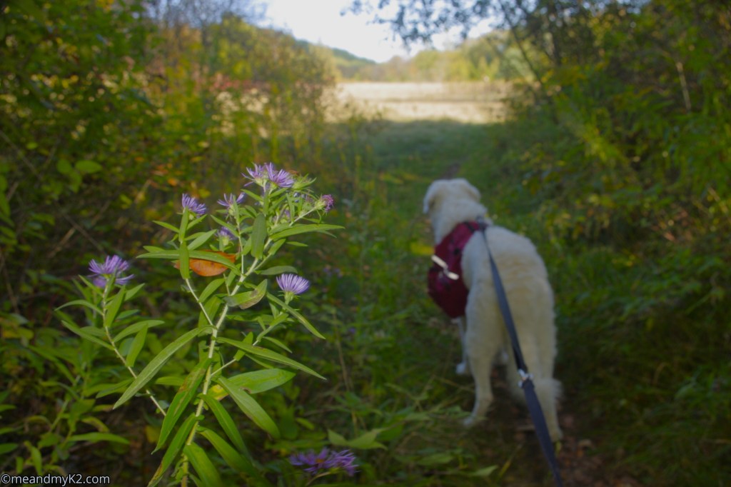
We hiked on the Bruce Trail along the Credit River and passed over a bridge observing a waterfall.

There was a group of hikers who were hiking in the company of their dogs.

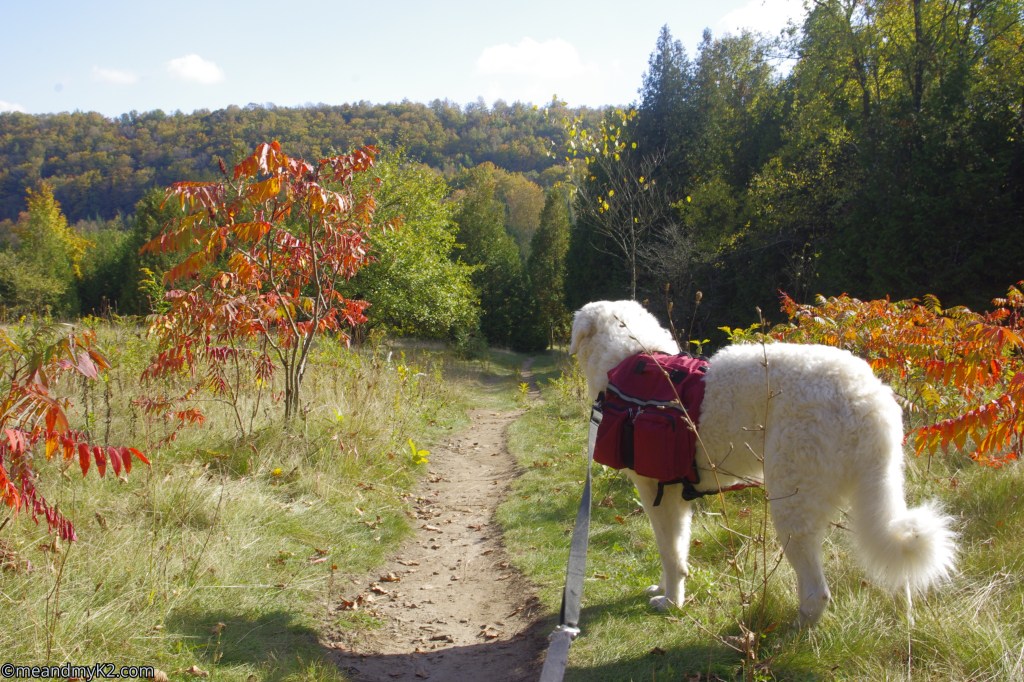
We took a little rest at a spot from where I could see early fall colours on the opposite side of the Credit River.


The flora along the trail was demonstrating that the peak fall season was around the corner.
We caught up with the group of hikers who were hiking in the company of their dogs (boxers breed) from the same breeder. We had a friendly chat.

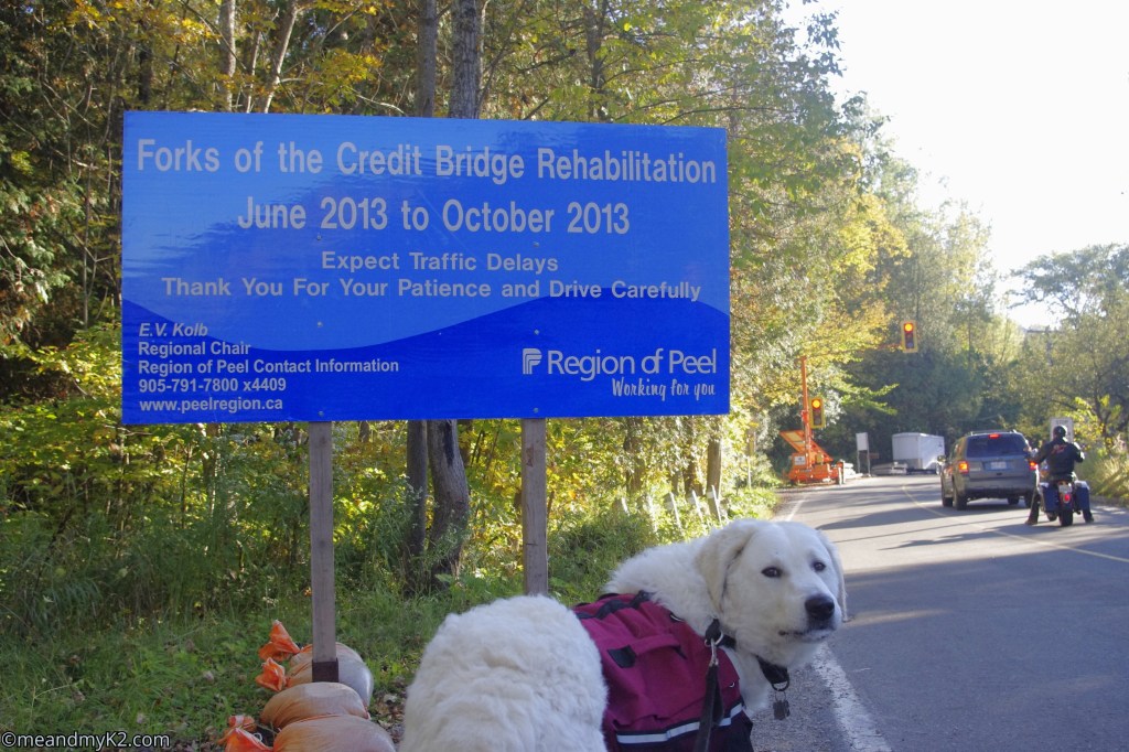
Hiking on the Bruce Trail, we finally reached the Forks of the Credit Road from where we had to hike along the roadside to the top of the hills after negotiating the Forks of the Credit Hairpin (switchback) and continue till the Grange Road.
It was here that I could not find the extension of the Bruce Trail on the other side of the road. In retrospection, we were fortunate.

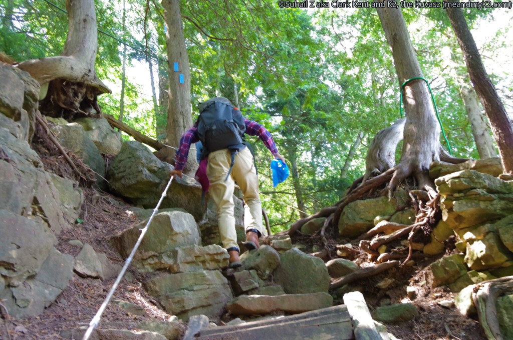
I traversed that section of Bruce Trail in the summer of 2023 in the company of my brother and my son. It was a difficult climb over the hills and ultimately reaching a high altitude plateau. Here are 3 photos from that difficult section of Bruce Trail.


As on that day, fortunately indeed, I could not find the trail head, I wisely decided to take the Road itself to the destination.
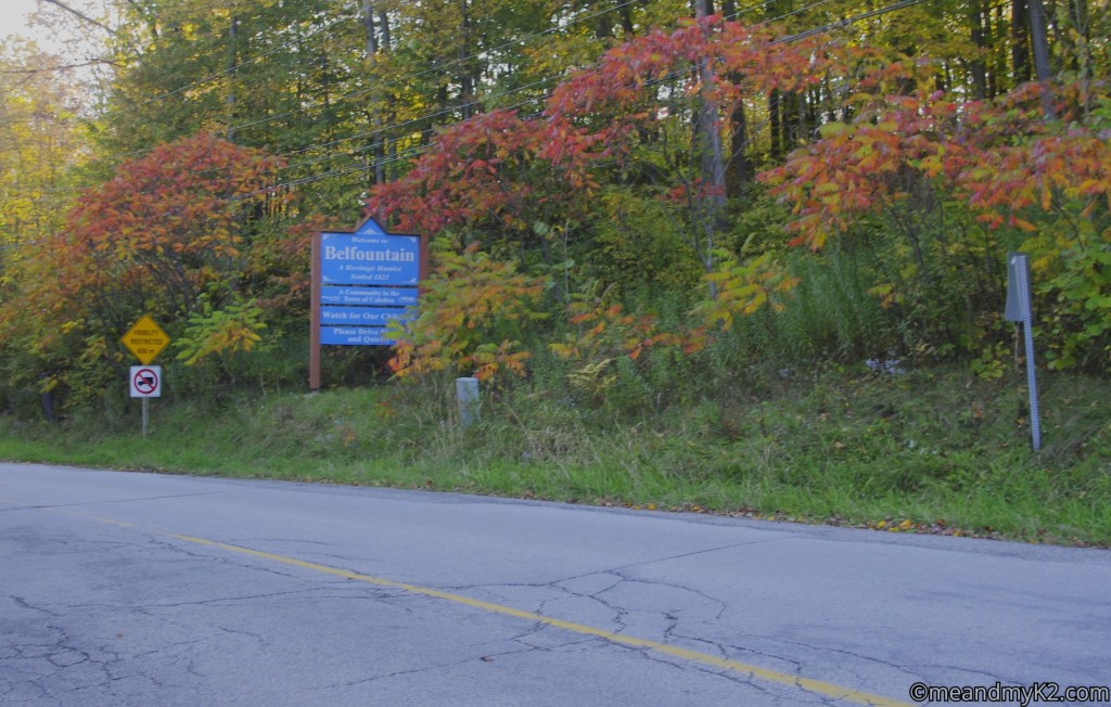
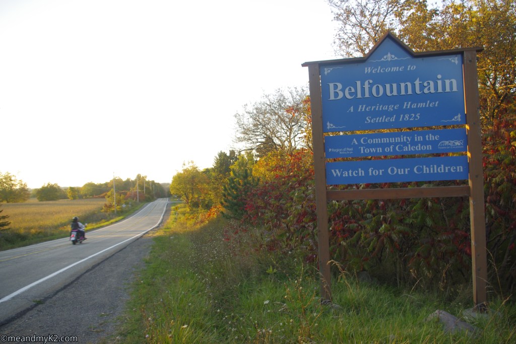
fork of the credit road to the hamlet of belfountain
We hiked on the road that kept gaining in elevation to reach an ice cream parlour. A family here offered ice creams to both of us, which we gladly accepted.


following the road to the city of brampton in the south
At the hamlet of Belfountain, K2 and I looked at the road that would take us to our destination southwards to Brampton) After hiking on the Road, where car drivers and motorcyclists kept waving at us, even offering snacks and water, we glanced back from where we had come.


We reached a homestead where a dog greeted us.


giving up as night fell
We reached the Grange Road. It was 8:30 pm. already. I decided to call it a day and call my wife to pick us up.
I was wondering if K2 would like to quit as he was thoroughly enjoying public attention all this far.
Boy! Was K2 glad to see my wife or what! That was enough for him to jump in the family van.


final words
Until our next blog, au revoir! Be outdoorsy, embrace diversity, and support causes for the conservation of nature!
