
When my my wife reached our rendezvous at Erindale Park on a surprisingly chilly night of August 14, 2015 at 9 pm, she saw me with K2, our Hungarian Kuvasz, and later described the scene to our children as, “Because of the cold, he was wearing K2 like a quilt”.
It hadn’t felt cold in the wee morning hours of the day when K2 and I started our hike from the extension of the Culham Trail at Churchville, Brampton in the north to Erindale Park at Dundas Street, Mississauga in the south.
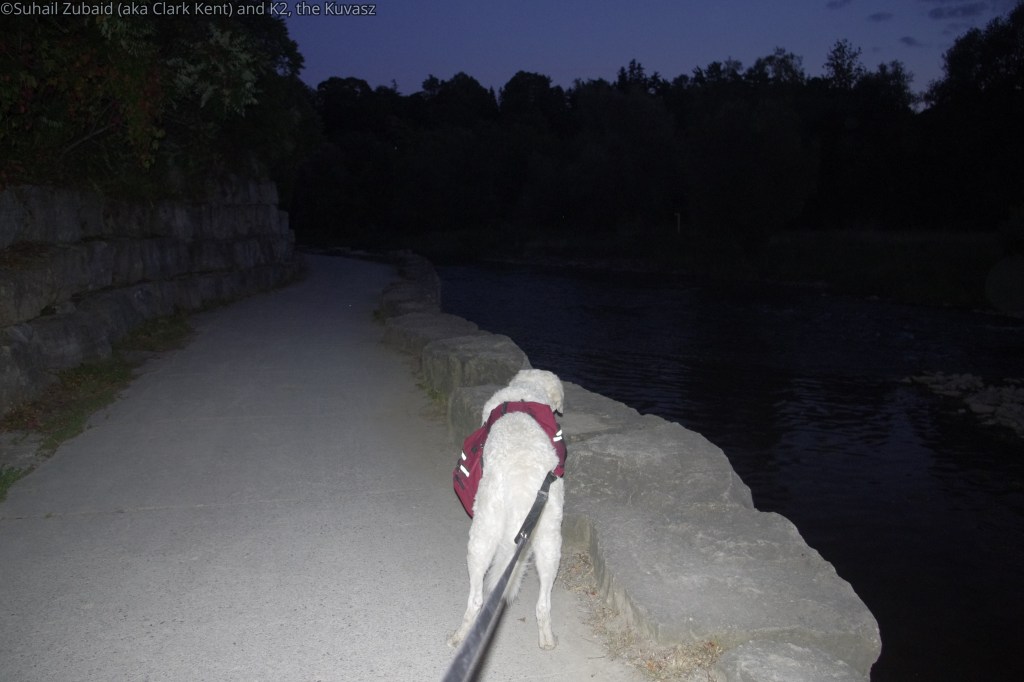
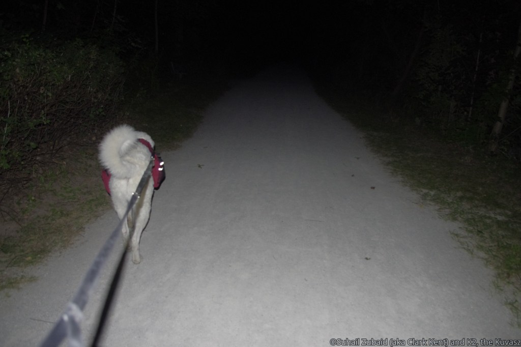
However, enjoying the trail at a leisurely pace and taking rest every now and then, meant that the last 5 km were completed in total darkness with my headlamp being the only source of light.

David J Culham Trail is a 13.2 kilometer heavily trafficked out and back trail located in Mississauga, Ontario, Canada all along the Credit River and is good for hiking and cycling for all skill levels. The trail offers a number of activity options and is best used from March until October. One can bring dogs on the trail, but must be kept on leash.
K2 and I hiked almost 20 km through lonely and busy trails, parks after parks, roads, and sidewalks, meeting local residents as we walked through various communities and surprising them by our origin and destination points.
Since I started from Churchville, Brampton, that added another 5 km or so to the total distance.
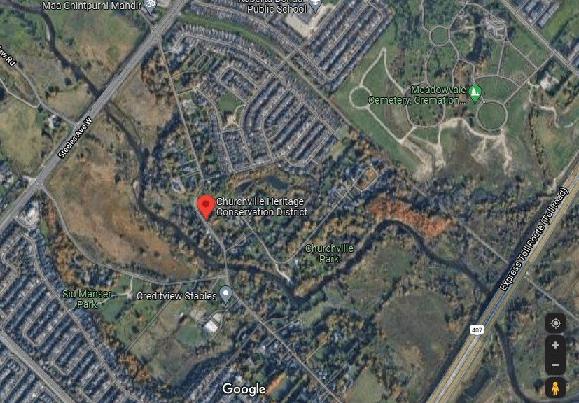
Steels Avenue and Churchville park, brampton to highway 407 underpass
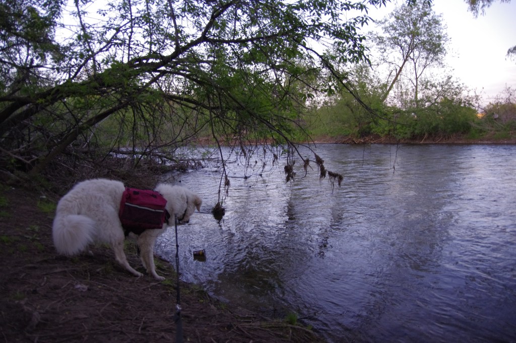
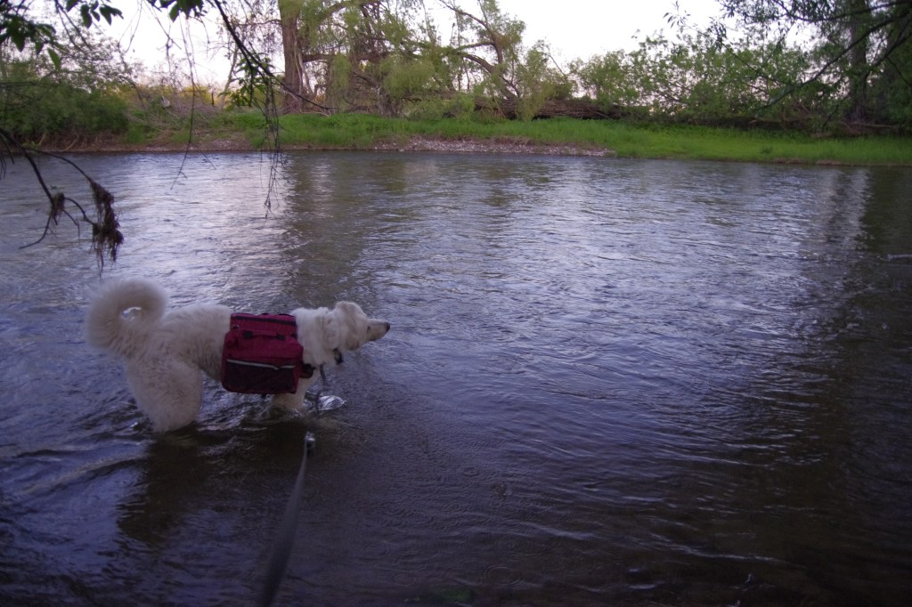
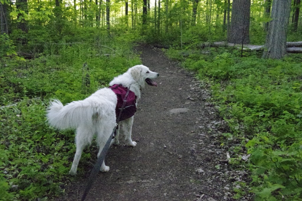
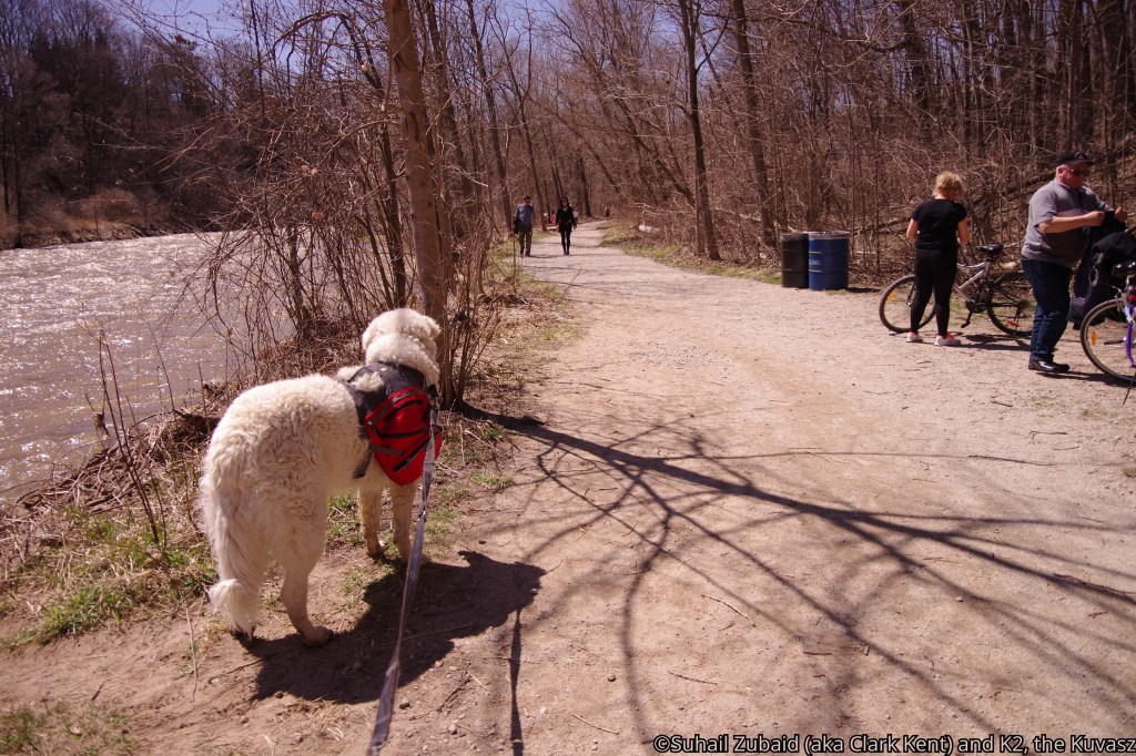
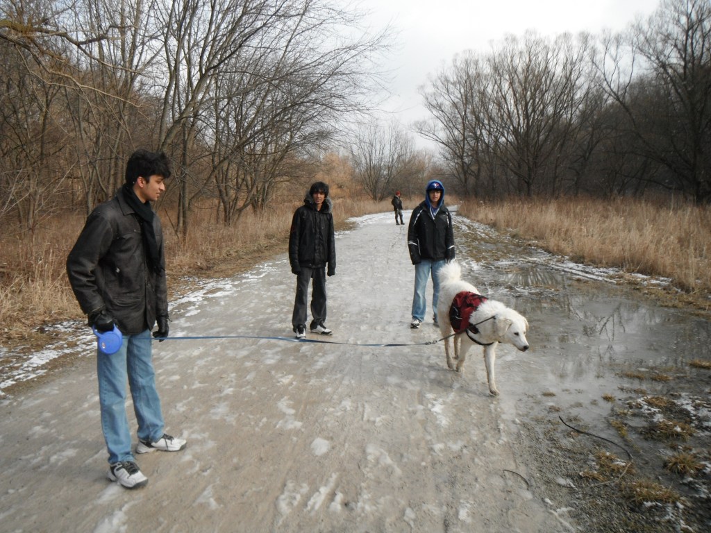
My wife dropped K2 and me at the southwest corner of Steel Avenue and Churchville Road at 8:00 am. We hiked toward the Churchville Park, which is located along the Credit River and is laid out with grass. It is popular with the local residents of the Village. We saw moms and dads of many puppies like the two below enjoying their morning walks.


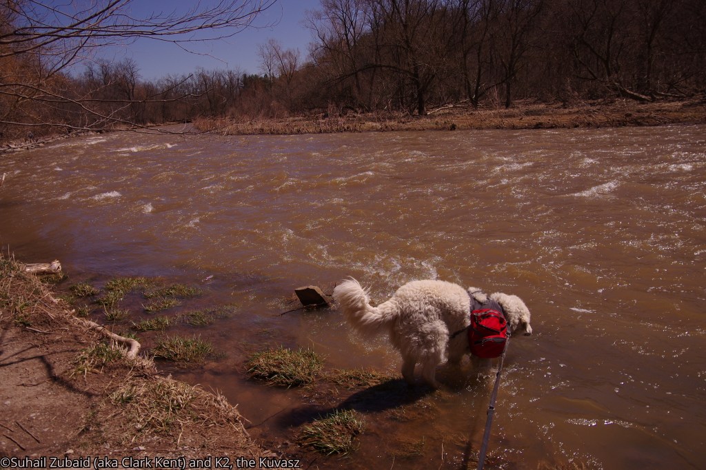
Needless to mention, K2 wanted to start by taking a dip in the river, but only after overcoming an initial shock of seeing floating trash.
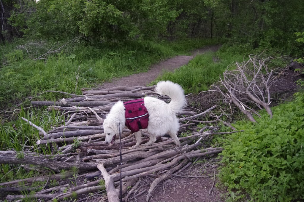
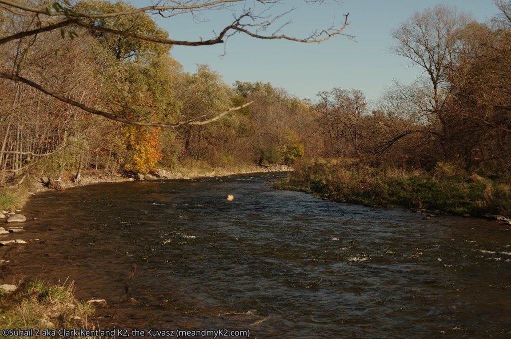
The narrow trail meandered along the River, through heavily forested area, often passing over makeshift culverts and through the Highway 407 overpass.

Note: K2 and I have hiked through this section in all four seasons.
highway 407 underpass to deryy road underpass to Meadowvale conservation area, mississauga
After the highway 407 overpass the trail passed through a small heavily forested patch and then opened out to a hilly meadow, which was probably Credit River’s flood plane, connecting with the Davison Trail. This trail is built upon an old road that seems to have connected Mississauga with Brampton many years ago, that is, before an alternate system of highways was built.
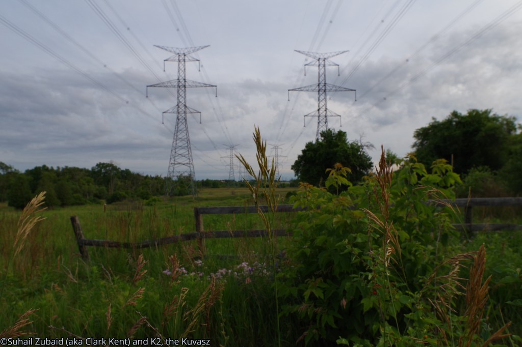
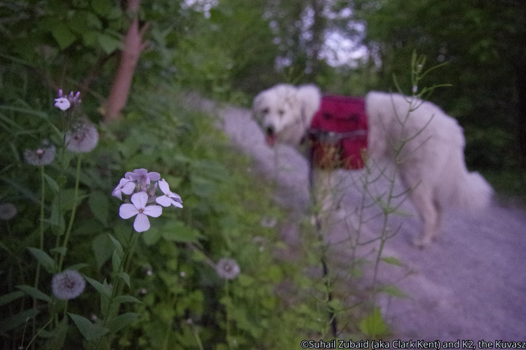
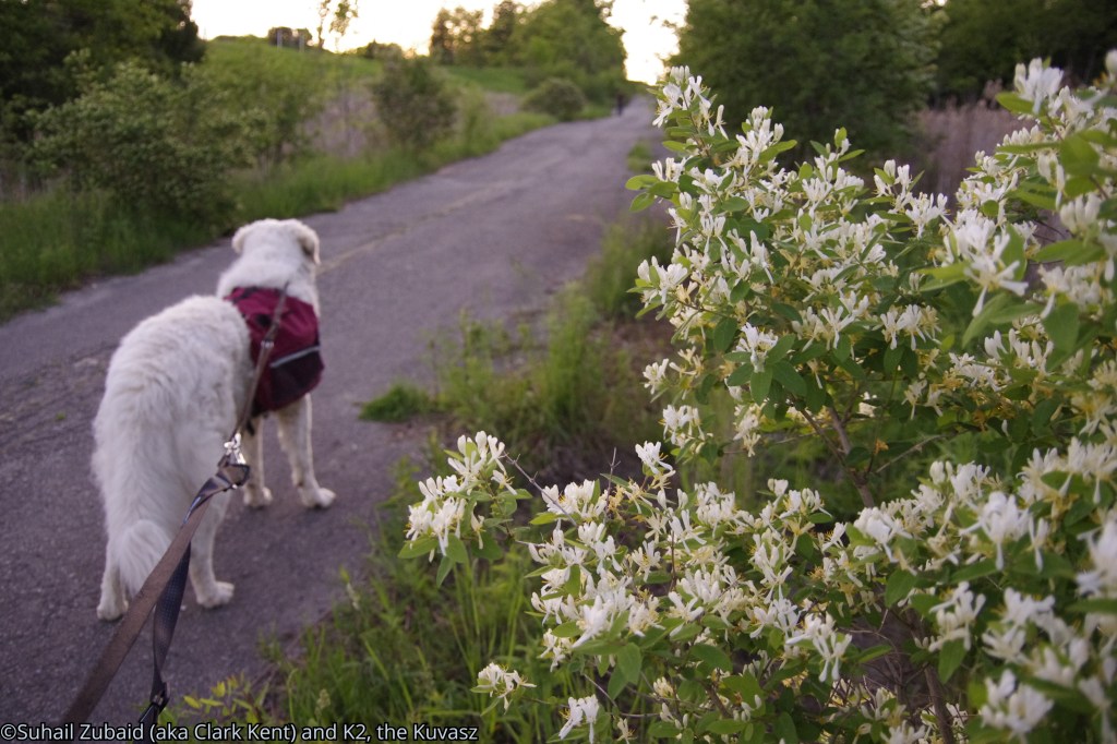
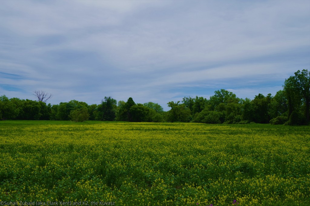
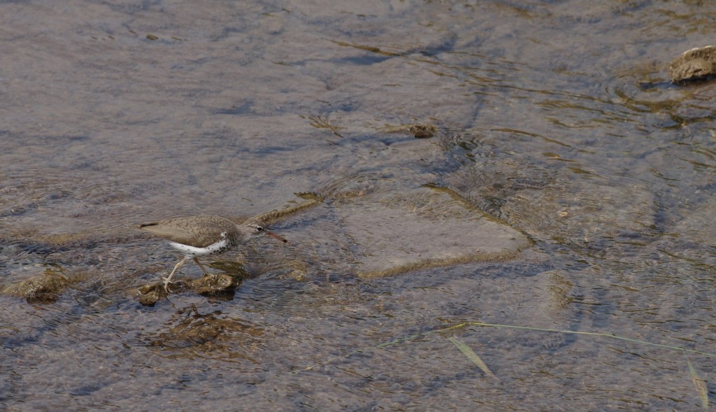
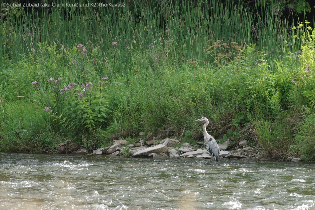
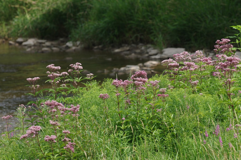
The Trail passed along a flood control zone underneath high power transmission lines as seen in the shots below where K2 and I enjoyed observing wildflowers. On other occasions, we have run into coyotes, deer, and wild birds.


Note: K2 and I have hiked through this section a number of times in all four seasons.
hiking through the meadowvale conservation area, mississauga
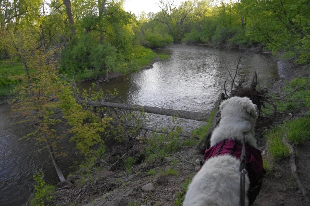
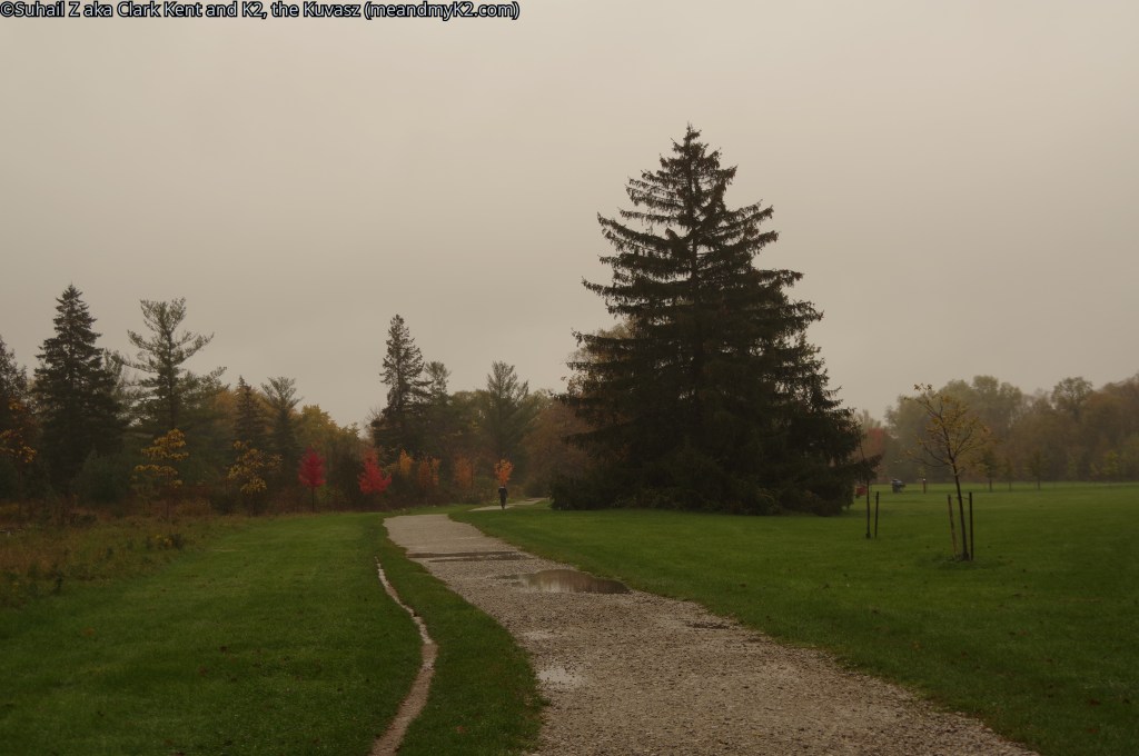
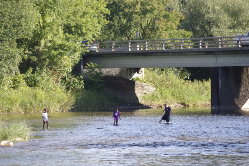
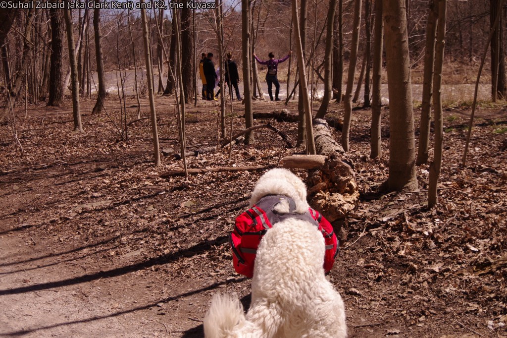
We entered the Conservation Area after hiking along several fenced ponds on our right hand side and a heavily forested area on our left with wild birds chirruping. Keeping to our right, we passed under the Derry Road overpass. This park, which gets busy in the summer, was almost left to ourselves.
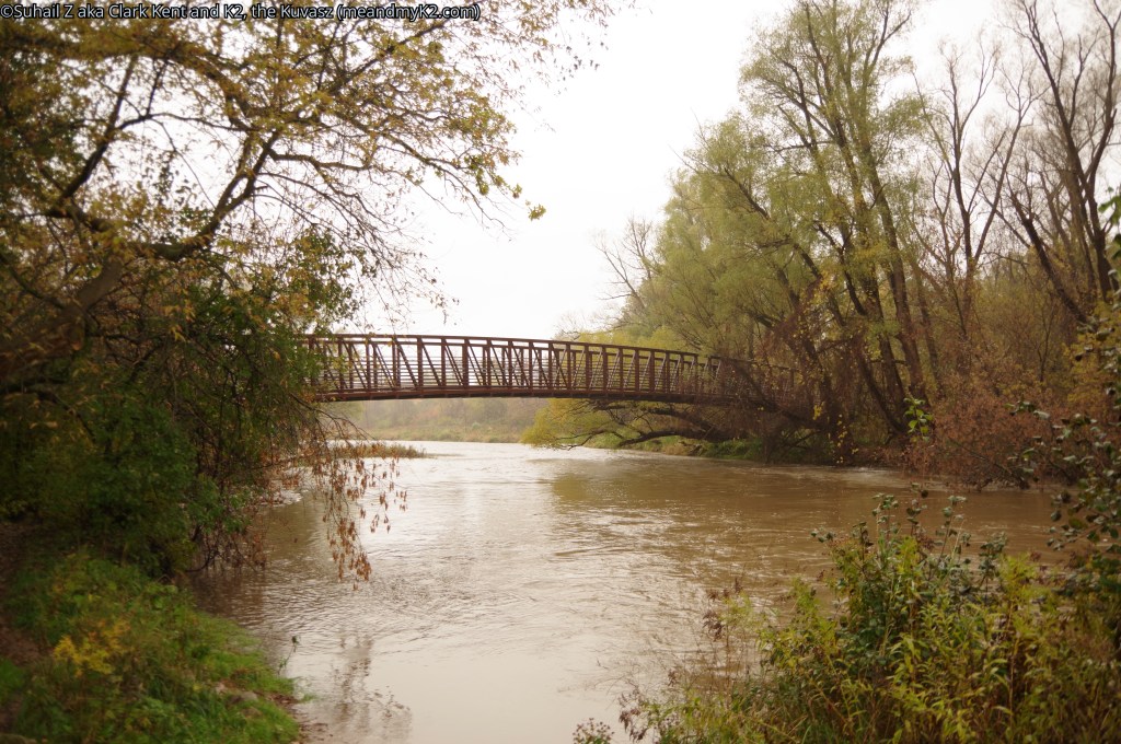
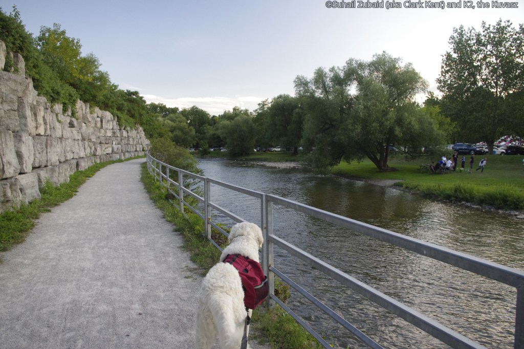
The park was huge and we entered it from its widest stretch where most of the picnic tables were located. The grounds are normally occupied by children and dogs running around. The trail crossed over the Credit River through a beautiful wooden bridge. The River was hitherto running on our right hand side.
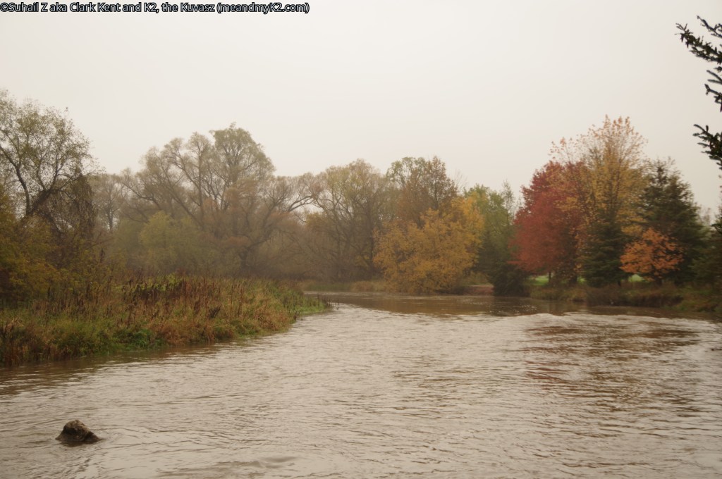
The trail now became narrower and passed through tall trees and bush. However, we could still see the wide stretch of wild grass and the river on our left hand side.
We breezed pass through the park without any hiccups.
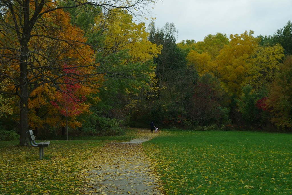
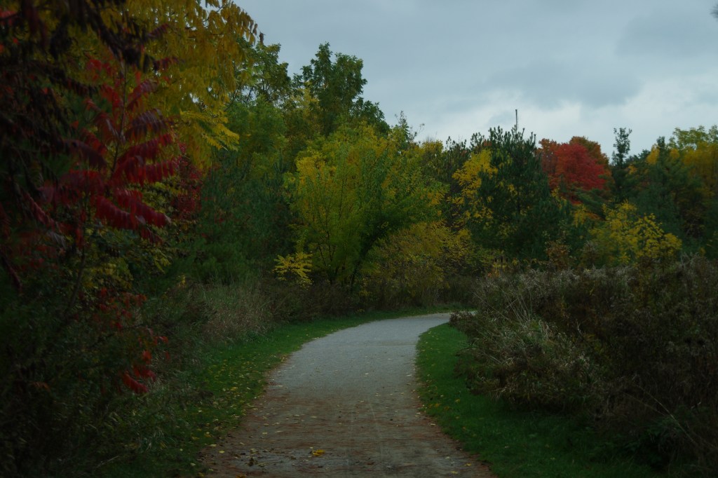
The following shots were taken recently in October 2021 under a steady downpour.


Note: This is K2’s and my home and we have spent lot of time here in all seasons.
old derry road, old creditview road, creditview road stretch to credit meadows park
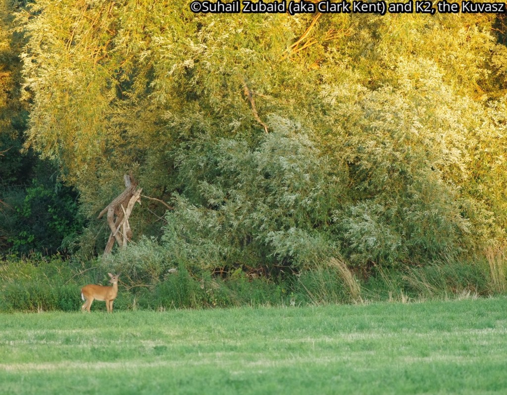
Out of the Conservation Area, the trail ran westward along the Old Derry Road-Old Creditview Road with cultivated fields and meadows of Sanford Farm on our left hand side.
The fields and meadows offer chances of observing deer and several species of birds.
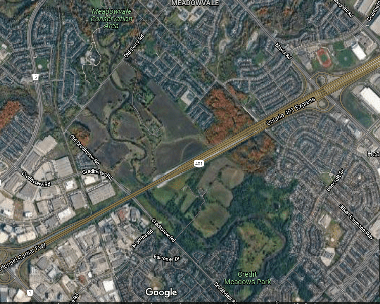


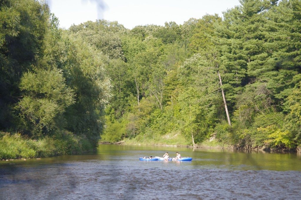
The stretch to the south of narrow and busy Creditview Road included hiking on Highway 401 overpass that ran by Credit Meadows Park, which was a small wild park back then, on our left hand side where we had our snacks and observed some water-based activities.
The hike along the roads was featureless.
credit meadows park to Pinecliff park To riverview park to Britannia road underpass
From Credit Meadows Park, we turned west on Kennighall Boulevard and then south on Pinecliff Road to Reach the Pine Cliff Park.
This was a beautiful section of the trail that meandered along the Credit River for most of the time, popular with the residents, but serene and tranquil, nevertheless.
As we hiked in the Pinecliff Park southwards, we saw the abandoned Riverrun Park on the other side of the river.
We met several dogs and their humans. We also observed some beautiful wild birds in the Pinecliff Park.
We crossed the river once again over a beautiful steel truss bridge to reach the Britannia Road overpass. Riverview Park was on our left hand side.
Here, we had to get up to the north side of Britannia Road and then catch the trail on the south again on east side of the River after crossing the road. However, this fact was not known to me. I spent over an hour just searching the trail to continue southward.


K2 and I have hiked in this park in spring and Fall seasons as well. I was able to take shots of migrating birds in the Spring and admire the colourful leaves in the Fall.

britannia road to bristol road
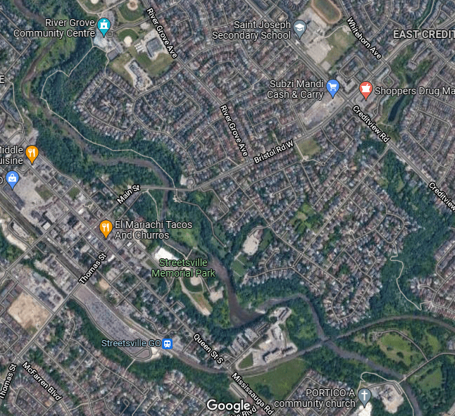
The trail crossed over Britannia Road and continued to the south, raising in elevation to what was called River Grove Grasslands and then to reach the playgrounds of River Grove Community with a standard sized baseball diamond. Credit River was left far away to our right at lower elevation and could not be seen from here. We kept to the right, leaving the Community building to our left, and entered Mountain Valley Park to a trail section with steep decline; the river could be seen again far below.
Mountain Valley Park gave way to Pine Forest Park and we hiked along the River all the way to Bristol Road, meeting and chatting with several people.
I noted that I had not taken any shots during our hike through this section. The reason could be my frustration earlier in the day for not finding the way across Britannia Road. I took some shot during my hike on November 05, 2021.


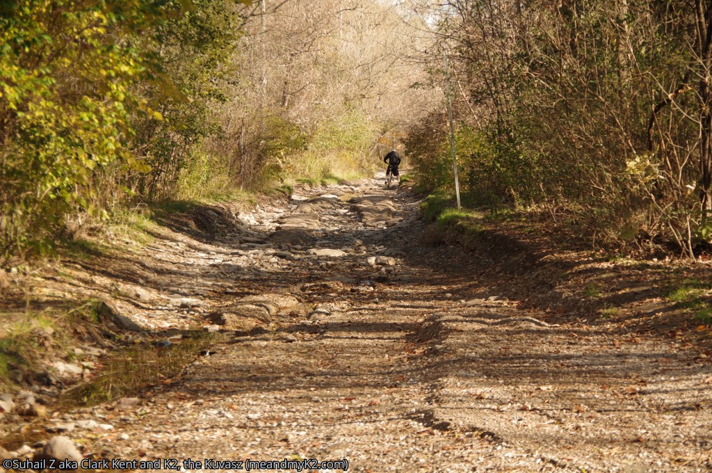
bristol road to barberton road
We crossed the Bristol Road and hiked on to the trail on the south side passing by the sign for the Village of Streetsville.
It was a busy section of the trail with scenic views, but I took no pictures. I recollect that I had gotten a bit intimidated by privacy related matters. I am posting shots from a recent hike on the section done on November 06, 2021.
At the end of this section there was a steel/wooden truss bridge that led to a dead end. So much for my hope that the trail would continue. K2 and I had to make a U-Turn and after quickly passing through a children small playground and a parking lot by the building of Streetsville Arena, we reached Church Street.
We continued hiking on Church Street and after about two hundred meters, reached Queens Road, which is the main road passing through Streetsville community. We hiked southwards on the sidewalk along the Queens Road for 1 km and made a left (east) at Barberton Road to its easternmost end where there were green colour buildings of ADM Milling Company. As one can surmise, it was an uneventful and featureless, but a taxing hike through this section.


barBertown road to highway 403 underpass
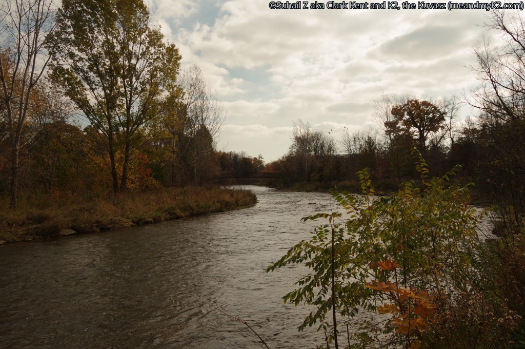
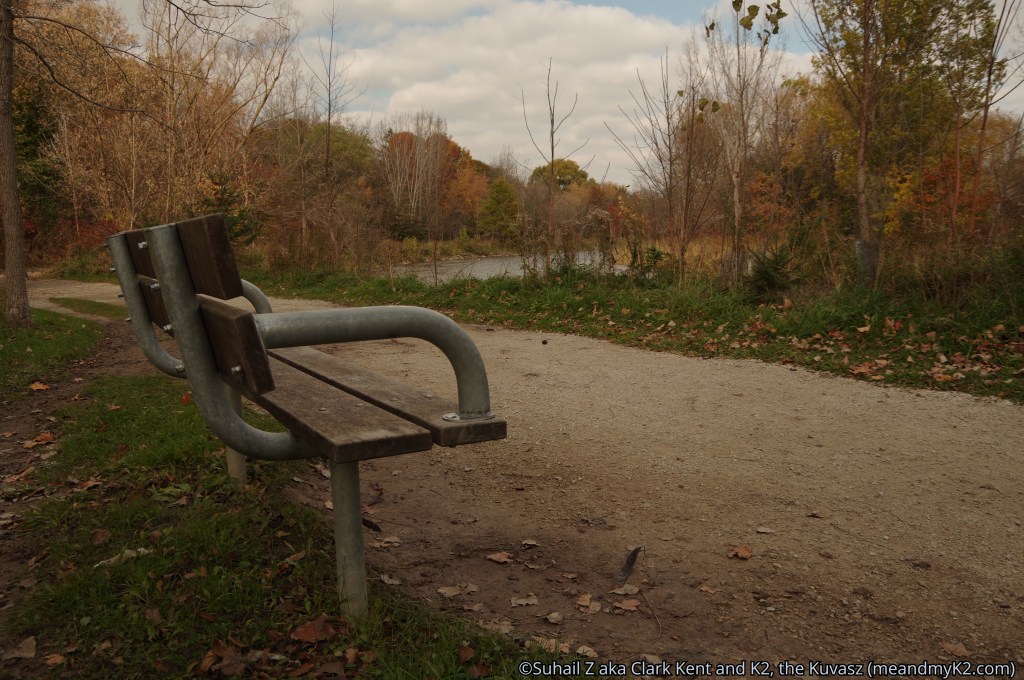
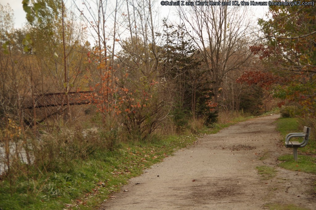
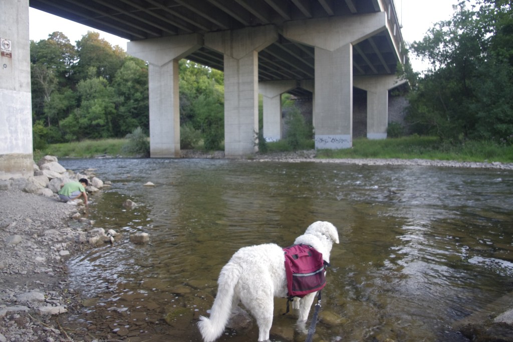
Culham Trail formally started again at the end of Barbertown Road and passing through forested tract on the right and Credit River on the left, crossed the river again via a beautiful steel truss bridge at the base of Eglington Avenue (picture #1 below). We hiked on a long stretch of about 5 km on the trail.
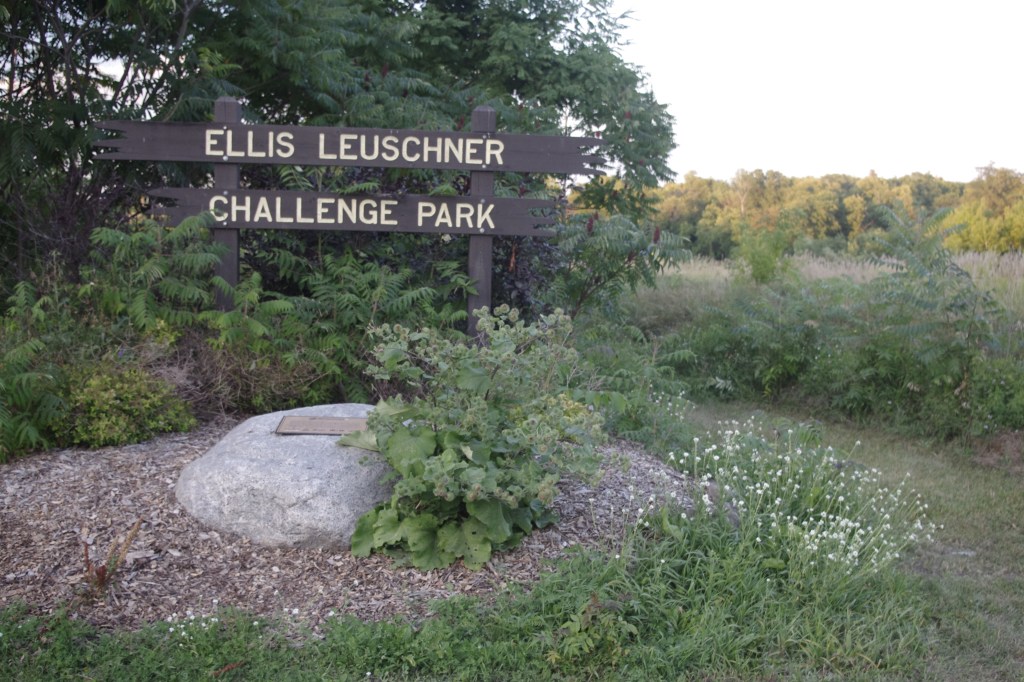
Overall, this was a beautiful stretch that passed through large tracts of meadows, including Hewick Meadows of the Riverside Park, along the River and then diverted away from it, moving eastward, to the Credit Pointe Village community, and then southward into the open area of Ellis Leuschner Challenge Park on a steep decline to meet the river again at the Highway 403 underpass.
It may be noted that the Leuschner MTB Challenge Park is an expansive MTB riding area that utilizes a large hydro corridor open space.


highway 403 underpass to burnhamthorpe underpass
This was the smallest, busiest, but a beautiful section that we hiked through. Here, we found hikers and picnickers were entering the trail after exploring Riverwood Conservancy.
I am posting shots from a recent hike on the section done on November 08, 2021.

Here are some shots from a hike from the Riverwood Conservancy to Culham Trail in April 2018.

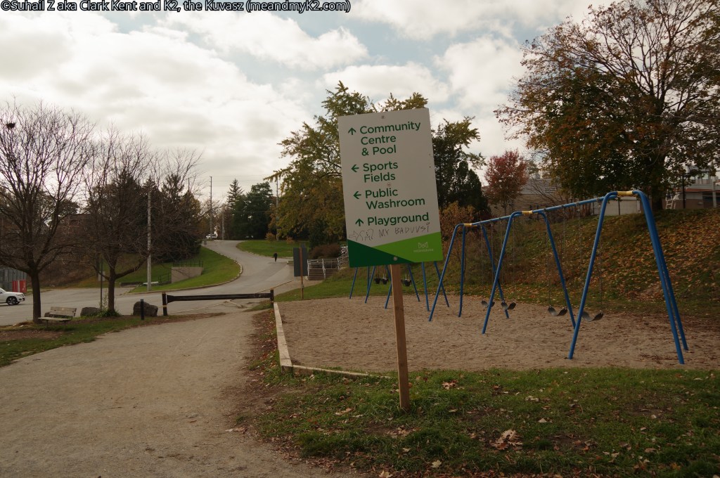
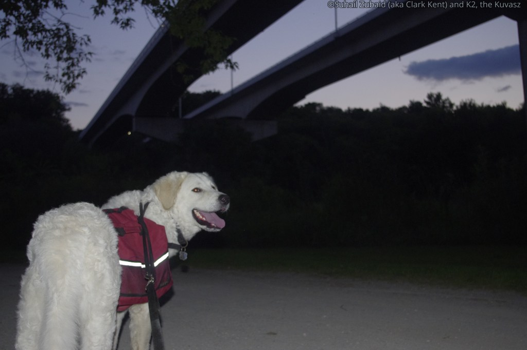
burnhamthorpe underpass to erindale park, dundas road
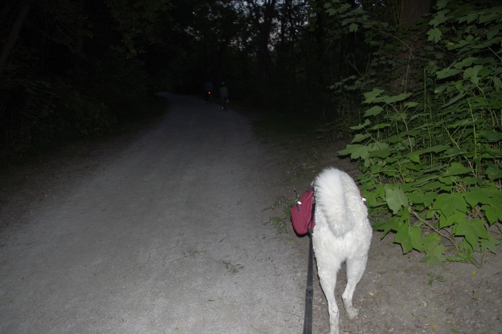
It was dusk when we started for our final stretch from Burnhamthorpe overpass. We were hiking along Credit River when the sun finally sat down and soon we were hiking in total darkness.
This stretch entered the Erindale Park with Credit River on right hand side and a forested tract on the left.
We ended our hike at 8:30 pm at the car parking area.
It was quite chilly for August and I was shivering. Needless to mention, I hugged K2 for comfort and he just leaned on me providing me just that. It was at 9 pm when my wife arrived to pick us.

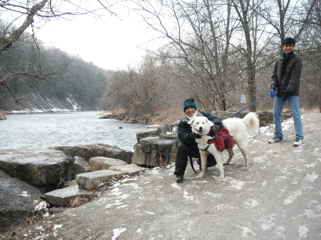
In the gallery below the last few shots are from two other hikes, one in winter of 2013 (with my nephews and son) and the other in summer 2014 (with my brother), through this section, showing how it looks during the day time.


parting thoughts
On the basis of blogs and vlogs that I have read and seen, I am 100% positive that I am the only person who has hiked through various trails, parks, roads, and sidewalks between Steels Avenue in Brampton and Dundas Street in Mississauga along the Credit River. K2, our Hungarian Kuvasz, was my partner in this achievement. I hope that this blog will encourage many others to hike or bicycle through the same route.
Until our next blog, cheers! Be outdoorsy, embrace diversity, and support causes for the conservation of nature!
