
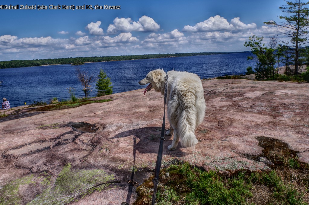
After hiking through a forest dominated by towering pine trees growing over a thin soil, K2 and I made it to the sprawling stretch of Precambrian rock of the Canadian Shield and the shoreline of the Georgian Bay with its turquoise blue water.
The terrain here was devoid of any shady trees, but from the vast expanse of water, sun drenched rock, and an azure blue sky dotted with fair weather clouds, came incredible pulchritude.

K2 was hyperventilating. However, as other members of the entourage started making it to the spot, he relaxed and started sharing his wealth – love and affection.
I was not expecting any carpet of verdant vegetation, but patches of short hardy bush, dead moss, and lichens had left etchings on the rocks that looked appealing to the eye.
We were hiking on Twin Points Trail at Killbear Provincial Park. This was August 2019. However, more about K2’s adventure in this park later.
the park
Killbear is a small park spreading over an area of 17.56 sq km. It is categorized as a National Park according to IUCN. It is located in the Parry Sound District of Ontario, near the town of Nobel.
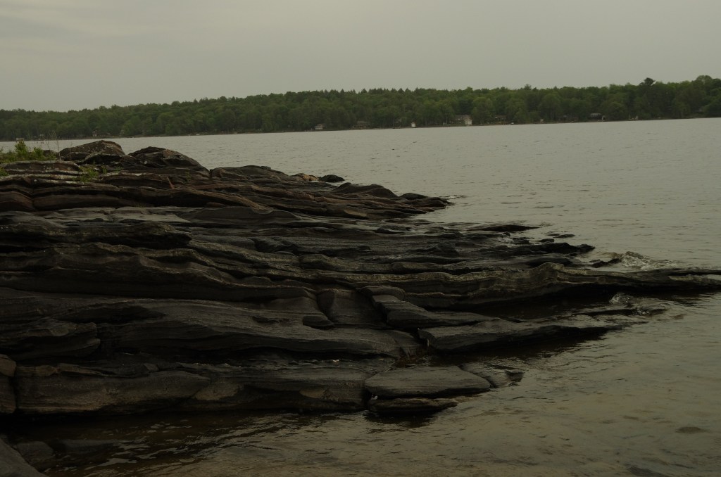
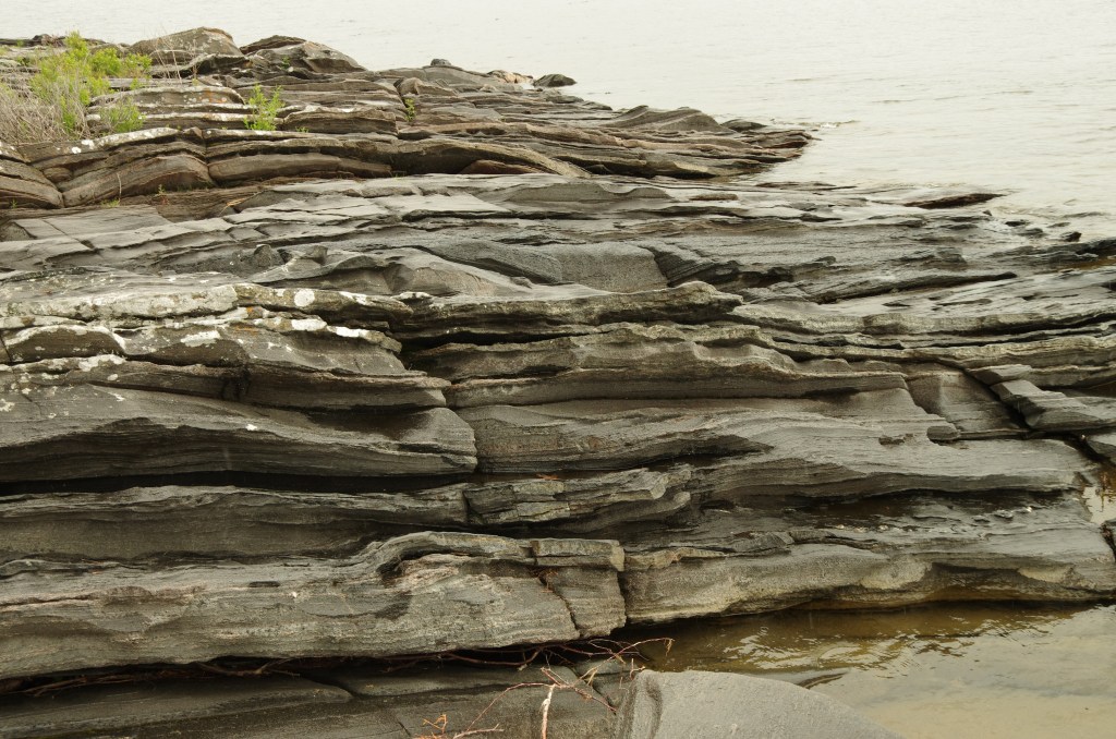
Killbear is noted for sandy beaches typical of the Great Lakes, Precambrian rock ridges typical of the Canadian Shield, as well as forming their own atypical geological shapes.
Some rock formations seemed to have intricate patterns carved on them by a sculptor.

Please enjoy hiking in the park with K2 and me. Click on thumbnails to see the images in original large sizes.
In June 2022, we visited the park from Grundy Lake Provincial Park, about 90.5 Km north, where we were camping.
Lighthouse Point Trail
When we reached the Parking lot in the extreme south of the park after driving on Killbear Park Road, it was raining cats and dogs.
Lighthouse Point Trail is listed as an 800 meters long easy loop trail, but on that rainy day we found that information a tad misleading.
My son and I hiked to the Lighthouse, about 100 meters from the parking lot. It would have been an easy hike if we returned the same way. However, we decided to follow the loop signs and it was indeed an 800 meters long moderately difficult trail passing over rocky outcrops, boulders, and roots of the trees.

Under the rain, the rock had become slippery and tracks mucky. We had to tread carefully.
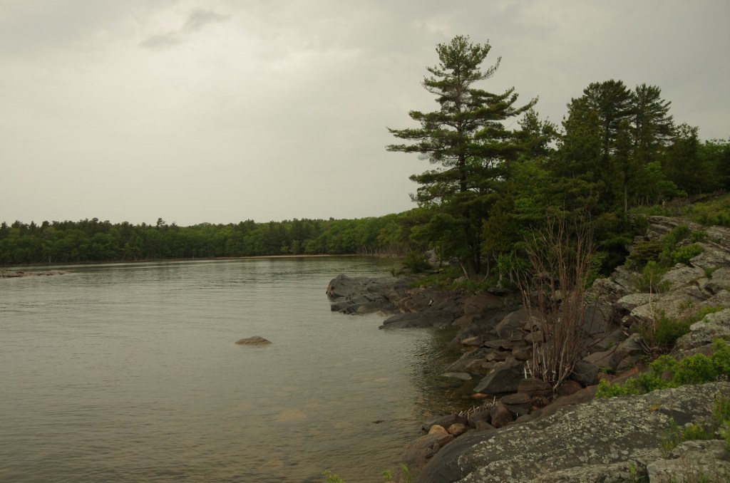
The trail took us to the southernmost tip of Killbear Point and offered superb views of Georgian Bay and its very own characteristic rock formations, so very different from Killarney and Awenda Provincial parks.
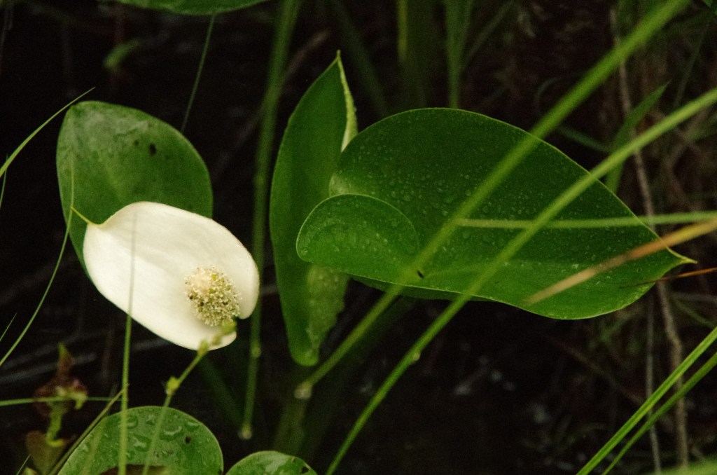
We were amazed by the flowers finding shelters in the crevices.
From here we had a view of a vast expanse of the waters of Georgian Bay with several islands scattered therein to the west.


Lookout Point Trail
We saw the entrance to this trail while driving our RV from the entrance to the Lighthouse Point Trail parking lot. We decided to give it a go on return journey.
We started the hike under a heavy rain that kept on becoming heavier.
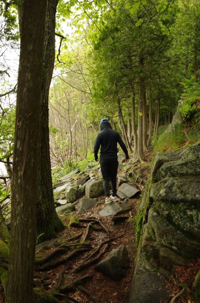
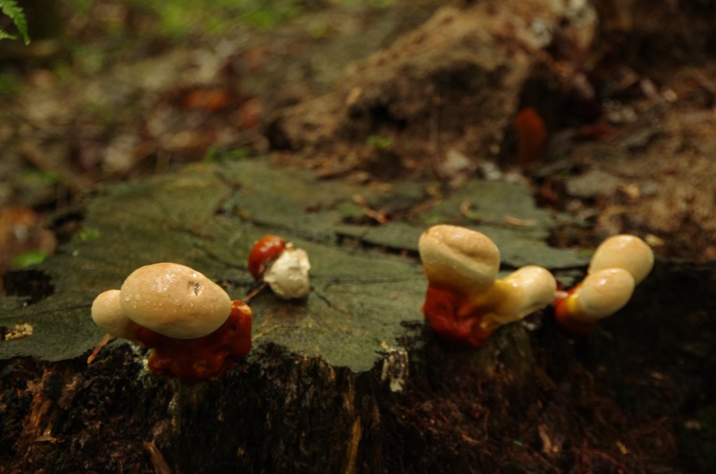
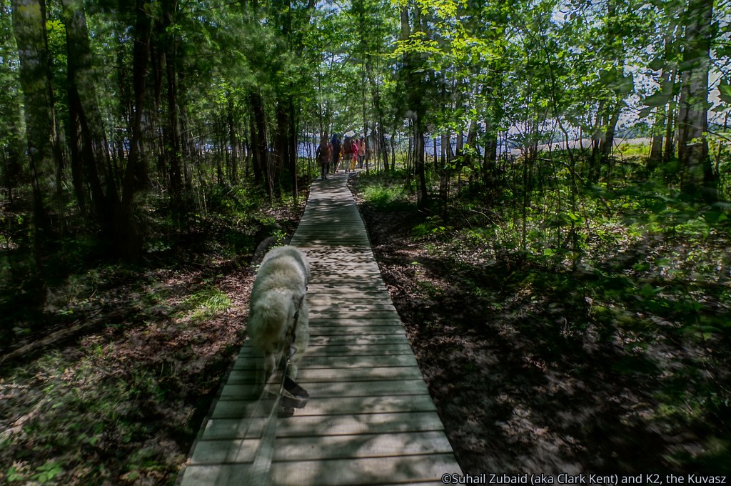
The trail wound through a variety of forest types, luxuriant vegetation, and rocky outcrops mostly over a boardwalk that appeared new and as if it was in one’s home. A trail exhibit explained the ecology of the area. I took a lot of shots of pines, flowers, and mushrooms that intrigued me by their design.


The Lookout Point promised to provide a breathtaking view of Georgian Bay at the midway point, but when we noticed that the rain water was beginning to ooze through the boardwalk ready to submerge it, we decided to call off the hike.
By the time we returned to the RV, it had begun raining cats and dogs – nay – bulls and elephants.
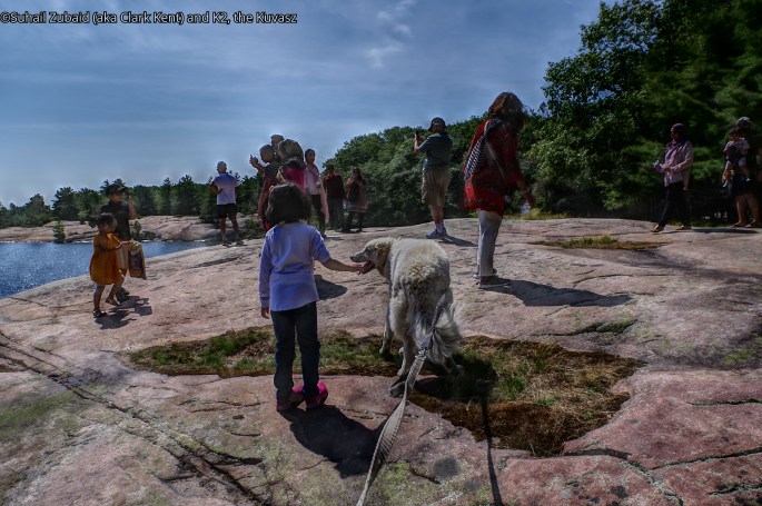
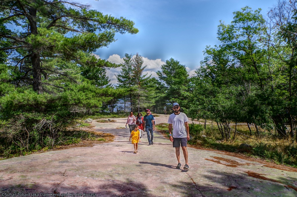
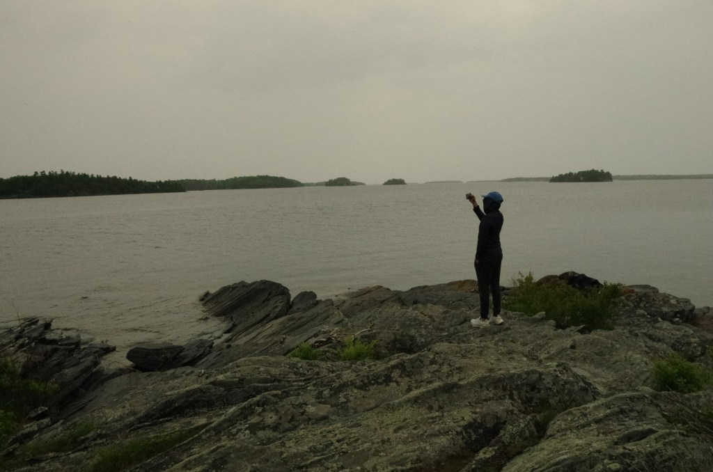
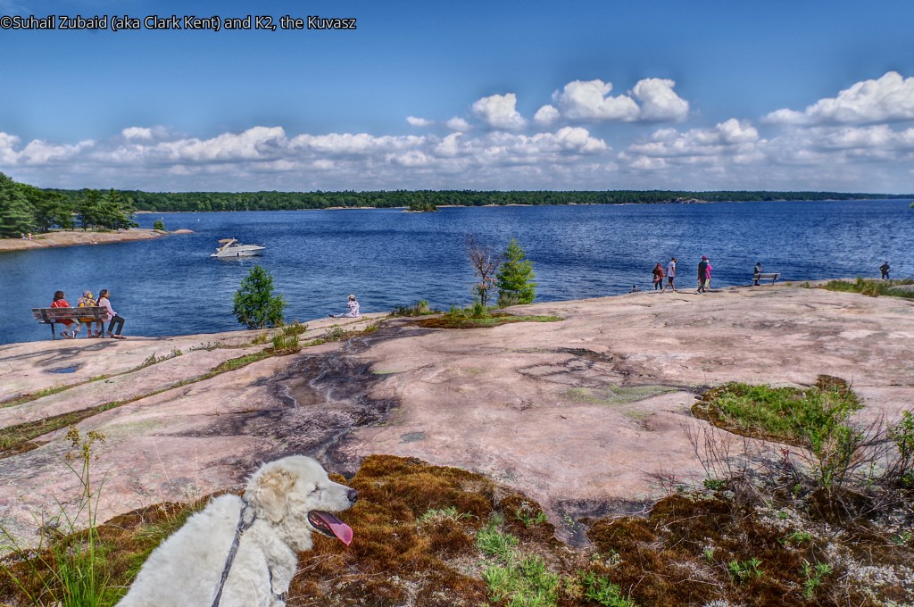
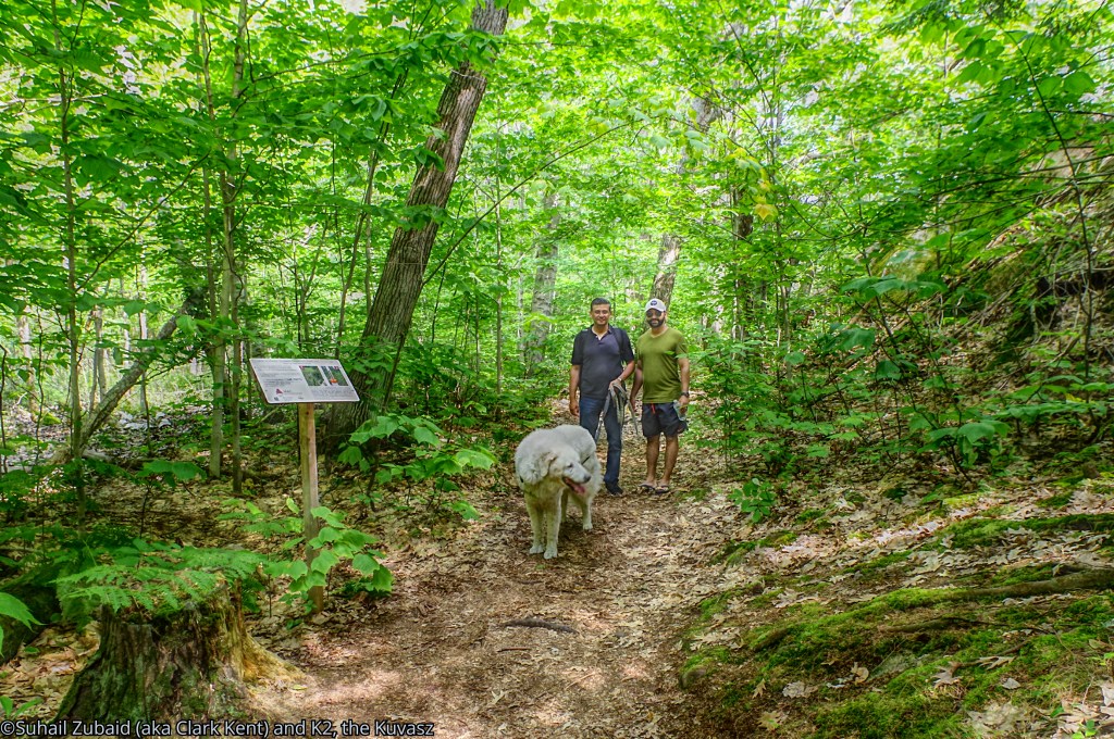
Twin Points Trail with K2
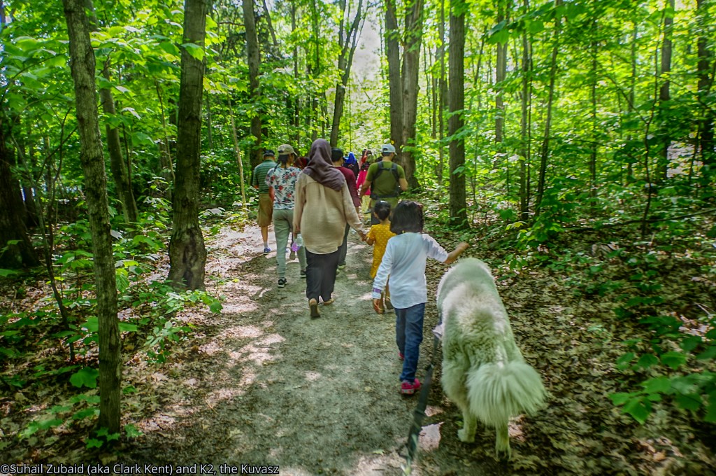
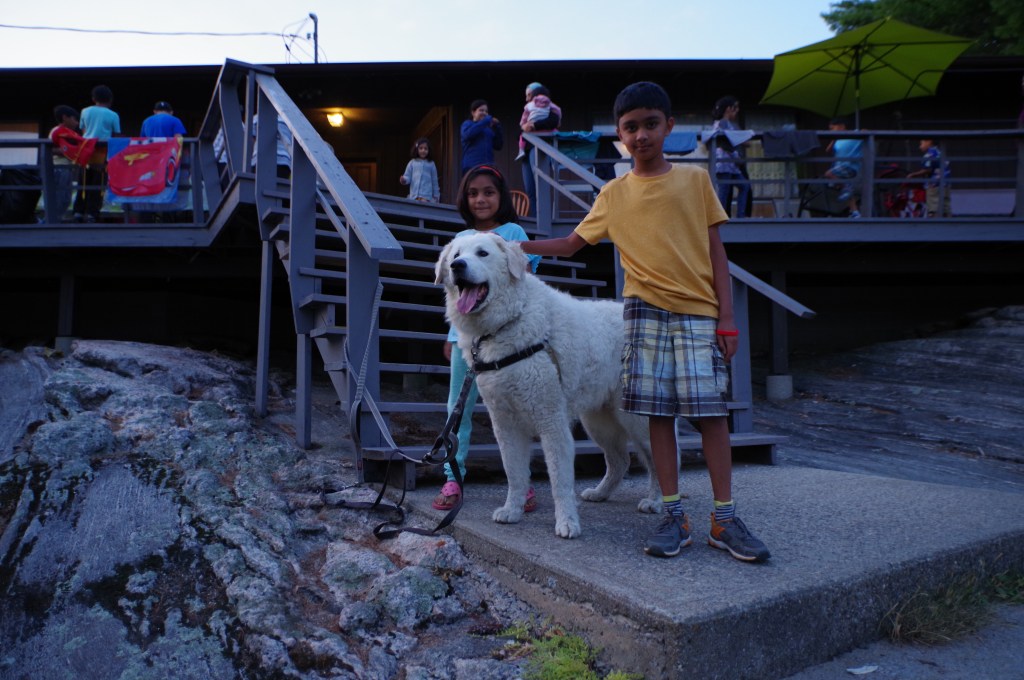
Even though it was a warm day and he was hyper-ventilating, K2 loved this trail and the entourage of cousins and their families hiking with us. The first thing he did after welcoming all the members slowly reaching the spot was to drink water, and lots of it.

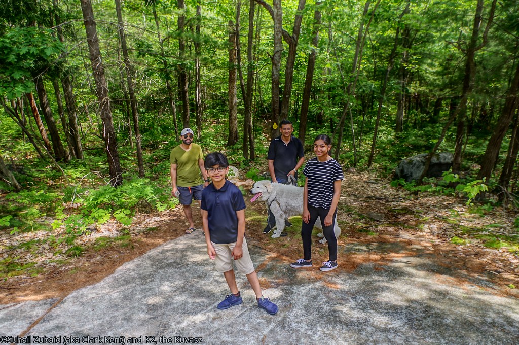
It was a 1.6 km long loop trail that started near the parking lot at the entrance of the park. We were an entourage of 26 adults, teenagers, and young children. We found it to be an easy trail for families with children of all ages and dogs.
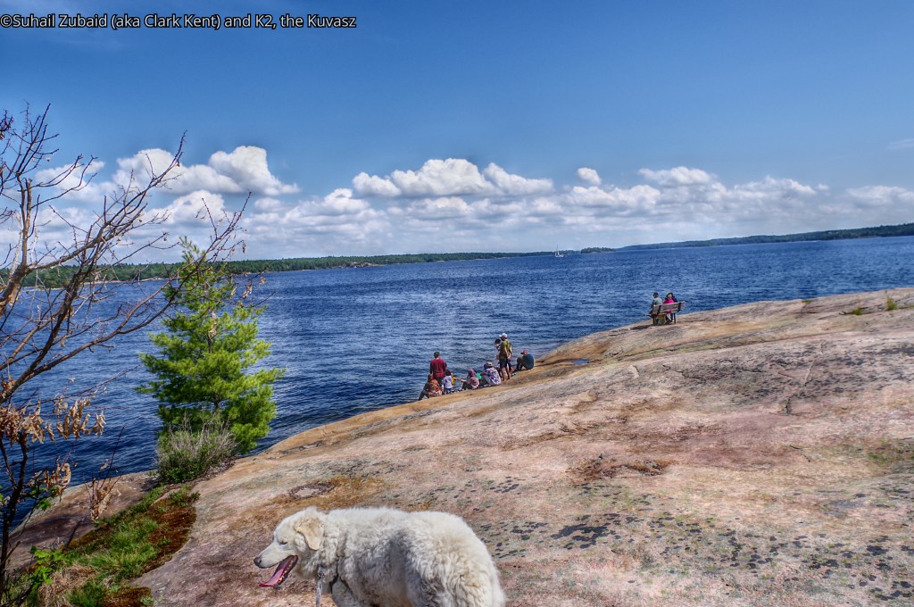
It was a flat patch of Precambrian rocks of the Canadian Shield by the turquoise blue water that captivated us. We all stayed here for almost 2 hours taking in the scenery.
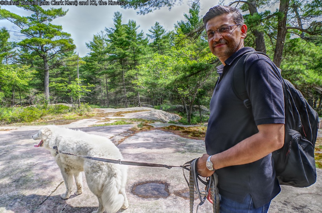
As we started our hike back to the parking lot, my cousin took the leash of K2 letting me take some shots with my free hands. K2 behaved perfectly well with some family members walking along side.

Where to stay
There are many electric and non electric car camping sites within the park, but on both occasions, we stayed at a separate location and drove in.
In 2019, we drove in from a nearby Katawoda Resort.

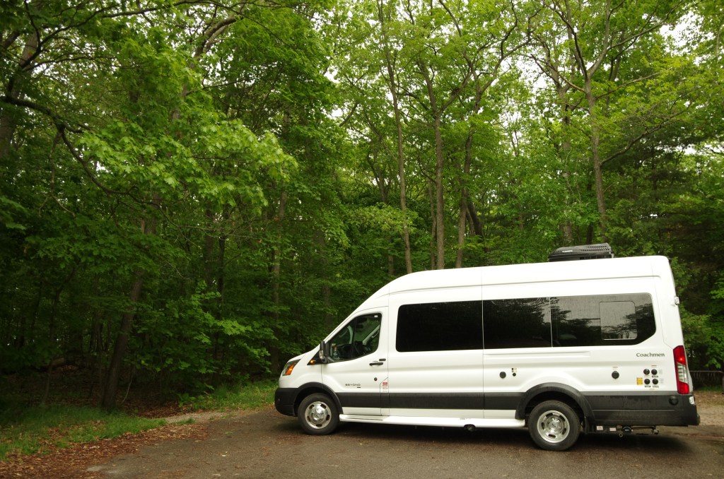
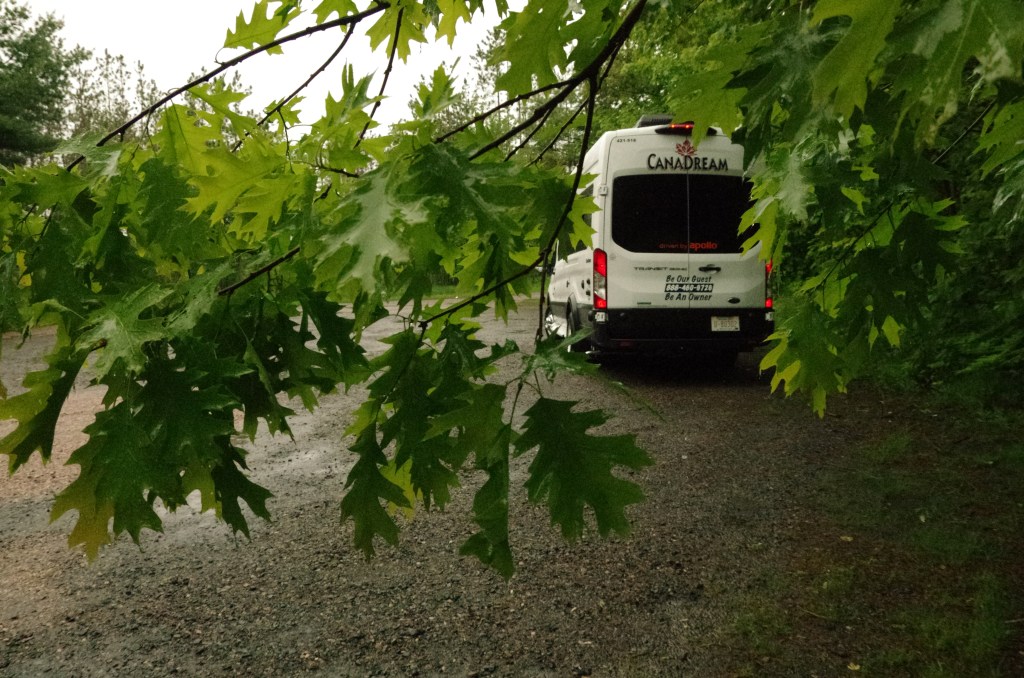
More recently we drove in a rented RV from Canadream from Grundy Lake Provincial park where we were camping for 5 overnights.
final words
Until my next blog, cheers! Be outdoorsy, embrace diversity, and support causes for the conservation of nature!

Fantastic trip, K2 and Suhail.
I admire your photography and love for K2. I am sure you miss K2. I do too.
I would love to hike on the Canadian Shield one day soon, which is every hiker’s dream who lives out west or out east.
Alastair
LikeLiked by 1 person
Thank you, Al! Your words mean a lot to me.
Hiking on the Canadian Shield has its own challenges, but a person like you will easily take those.
Regards,
Suhail
LikeLike