
My nephew, son and I were making a good progress, exchanging views with the climbers descending from the King’s Throne, everyone encouraging us as we were the only ones ascending the mountain at noon.
We started climbing at 60 degree gradient with lose rock giving way under our each step every now and then.
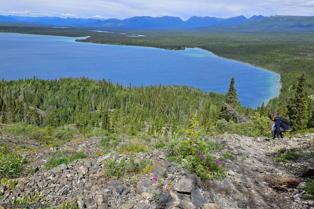
I had a close call while climbing. One of my hiking poles shattered on a steep climb, causing me to fall face-first into the only piece of mud in the loose rock. Fortunately, I didn’t suffer any injuries. Admittedly, my nephew and son fared better.
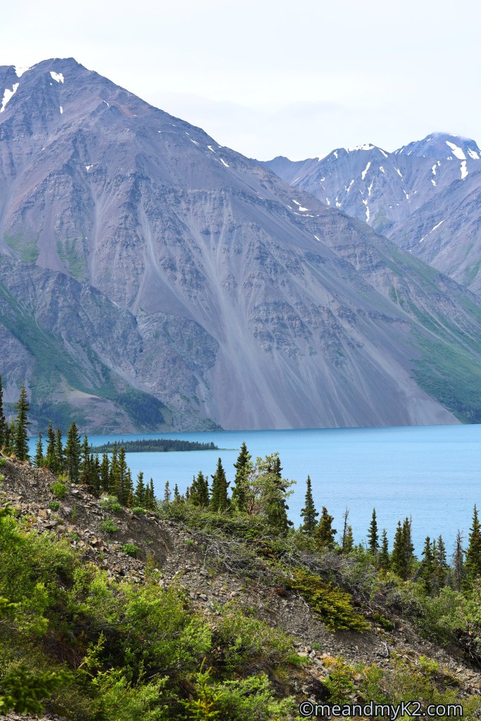
Something that can never be captured by any photo, the long distant views from the top were breathtaking to say the least.
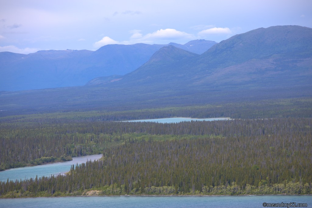
We were hiking on one of the more challenging trails of Kluane National Park and Reserve, located in southwestern Yukon.
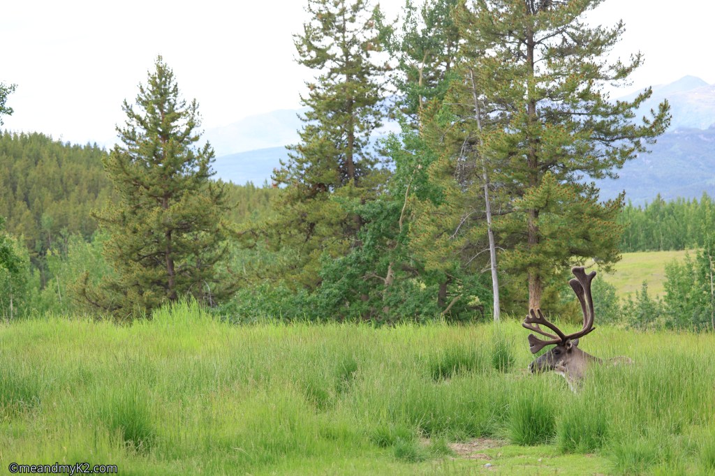
We also observed the quintessential wildlife of Yukon later. (Please see at the end).
The National Park
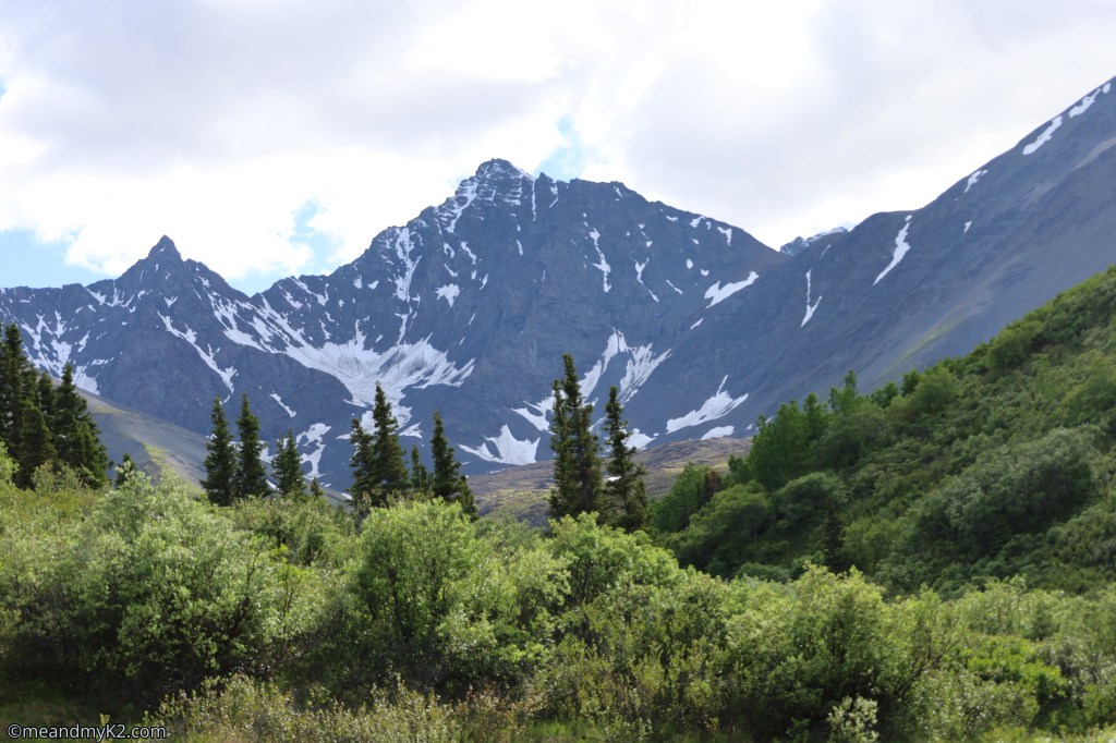
Kluane National Park and Reserve covers a total area of 21, 980 sq km (8,486 square miles). It consists of 82% mountains and glaciers and 17 of the tallest 20 peaks of Canada, including Canada’s highest peak, Mount Logan (5,959 meters). It is managed jointly by Parks Canada and local First Nations.
We saw mostly U.S. travelers driving RVs up the Alaska Highway. Aside from them, most visitors were from Quebec.
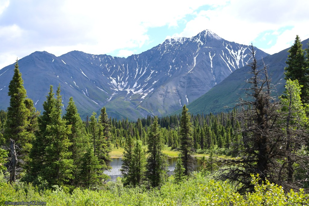
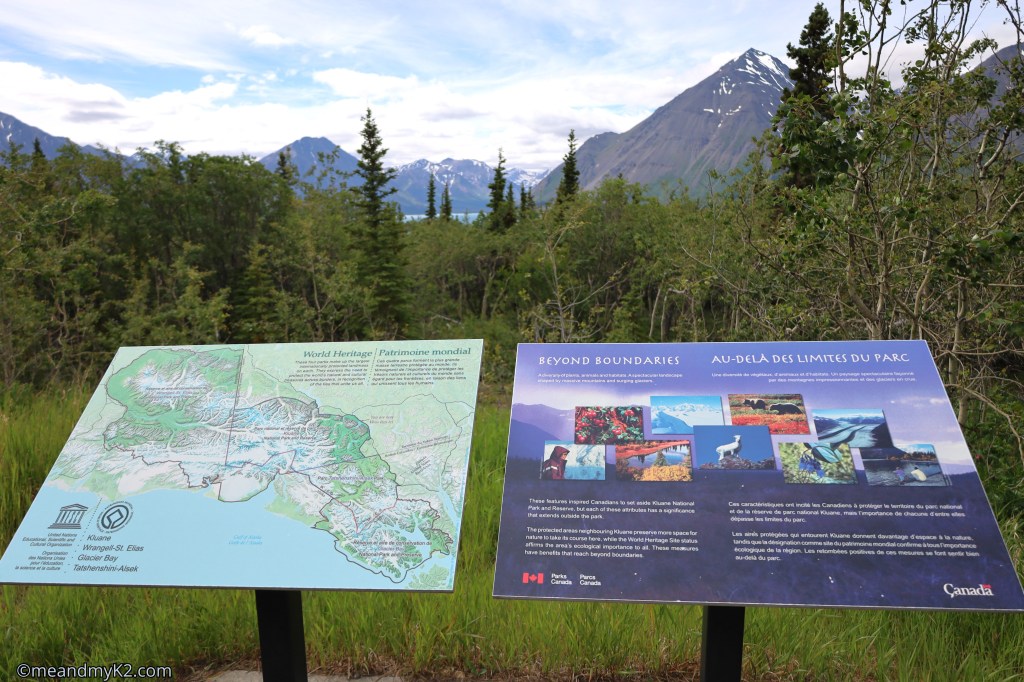
We learned that the Park is a part of a massive UNESCO World Heritage Site made up of four connected parks across Alaska, Yukon, and British Columbia: Wrangell-St. Elias National Park and Preserve, Glacier Bay National Park and Preserve, Tatshenshini-Alsek Provincial Park, and Kluane National Park and Reserve itself.
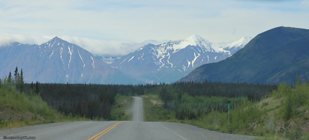
Trails in tandems
We hiked on several trails in the national park. We combined hiking on a longer moderately difficult trail with a shorter easier trail each day.
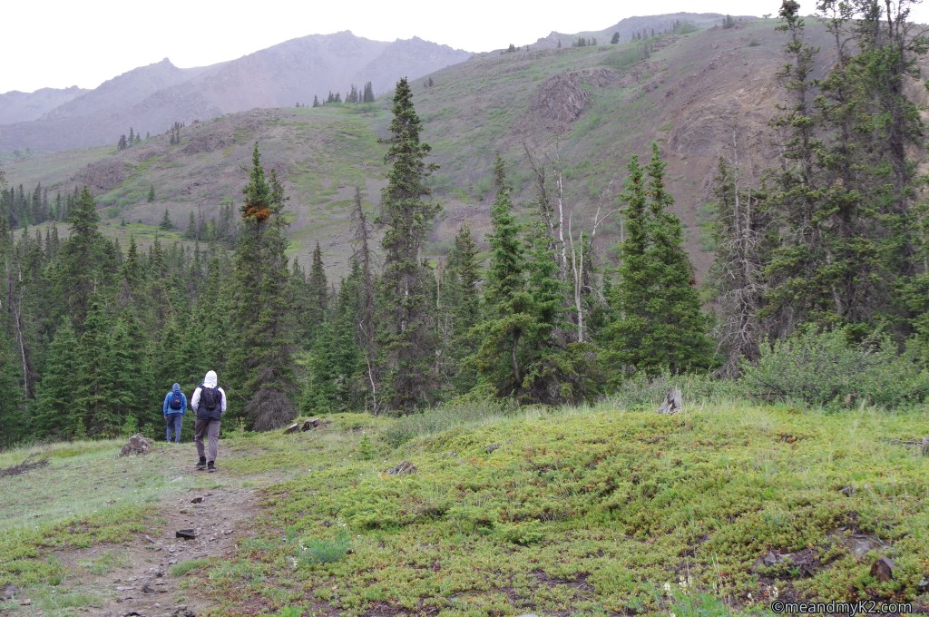
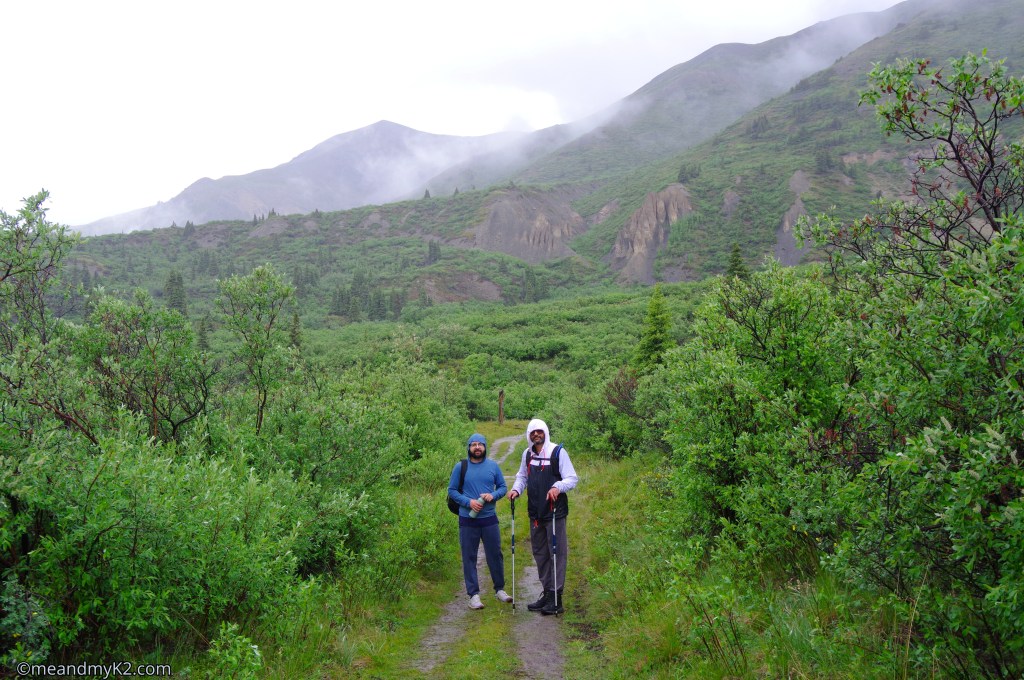
We had to cope with the vagaries of the weather though. On the first day of our adventuring like the one below, we ran into heavy rain.
The trails we hiked on are as follows:
1. Auriol Trail and Spruce Beetle Trail
These two trails are located near Haines Junction. While Auriol Trail is 7 km (4.3 miles) south of Haines Junction along the Alaska Highway, Spruce Beetle Trail is 1.1 km (0.68 miles) to the north of the town.
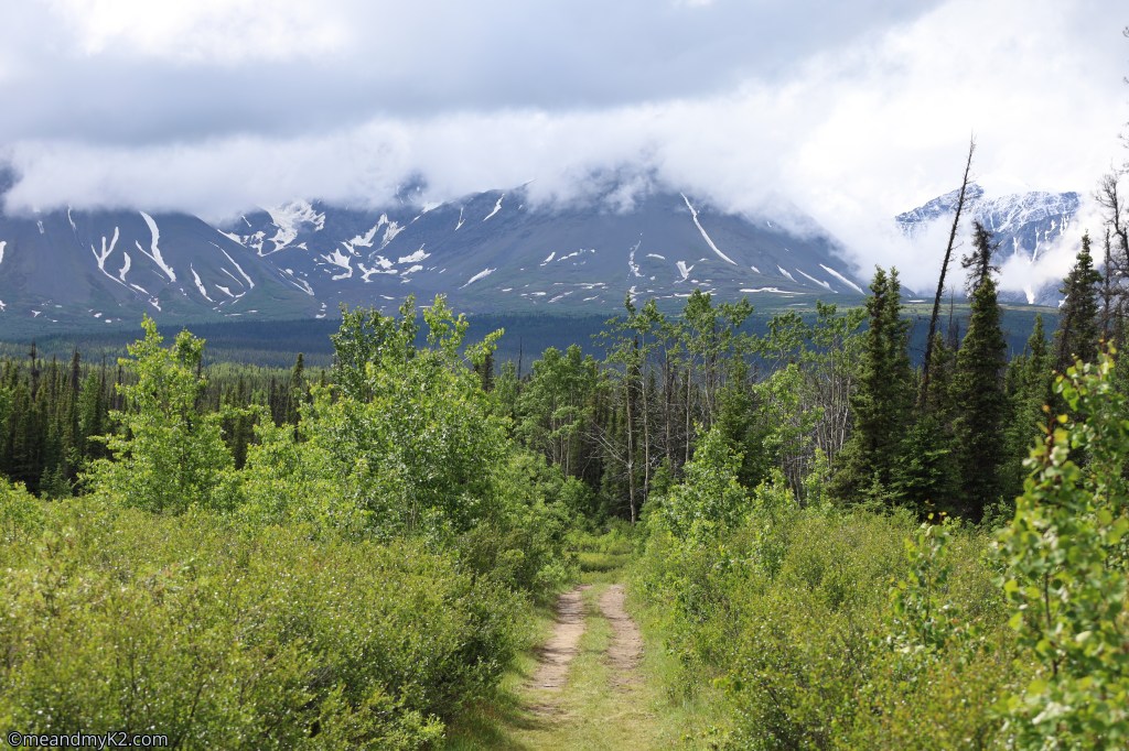
Auriol Trail
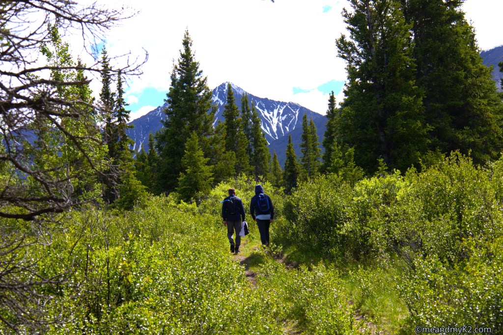
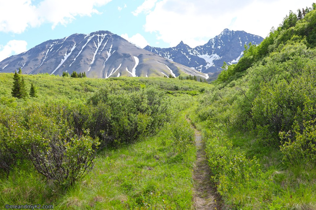
We hiked this 15 km (9 miles) long trail with an elevation gain of 400 meters (1300 feet), giving us the views of Auriol Peak, a rocky peak perched high on the ridge, Quill Peak, and Mount Martha Black (Kluane Mountain range).
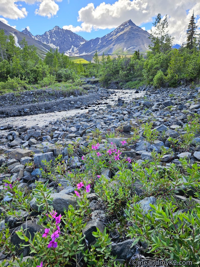
We only met one resident walking his two beautiful dogs during the early section of the trail that had recent grizzly bear activity.

Spruce Beetle
This was an easy 2 km (1.2 mile) long trail with an elevation gain of 15 m (50 feet). I, personally, found it to be the best self-guided interpretive trail of all national parks I have visited across the 3 continents to date.
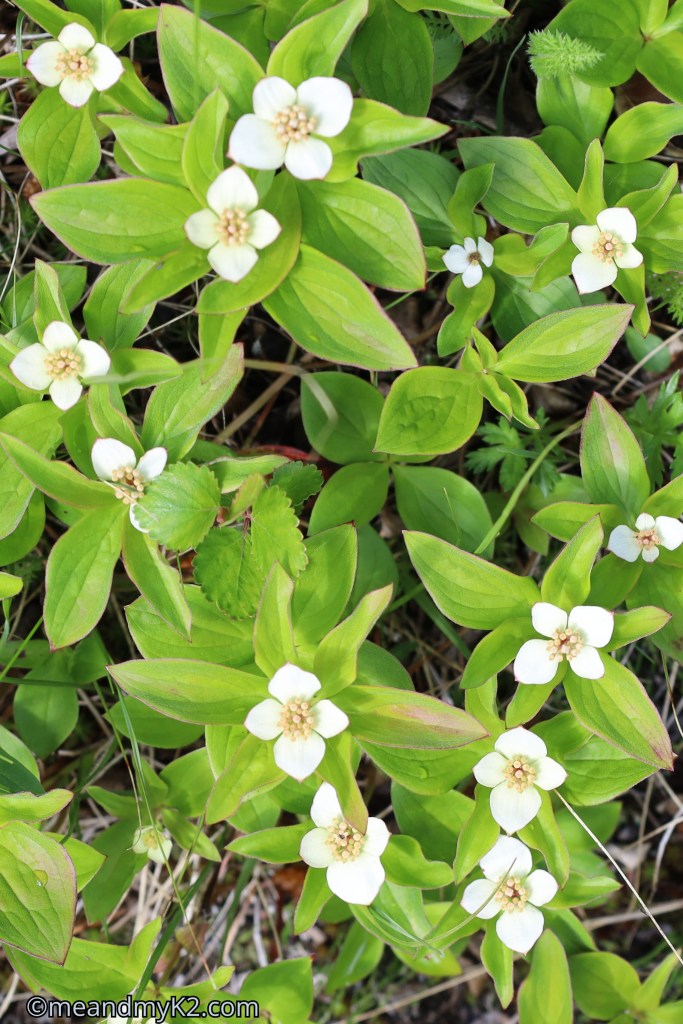
As the pictures below show, it was a very informative hike.
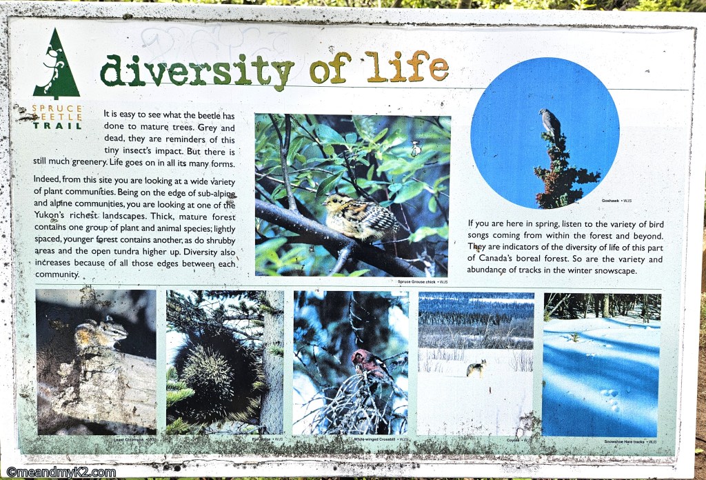
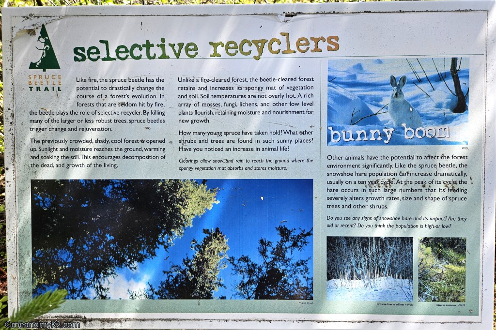
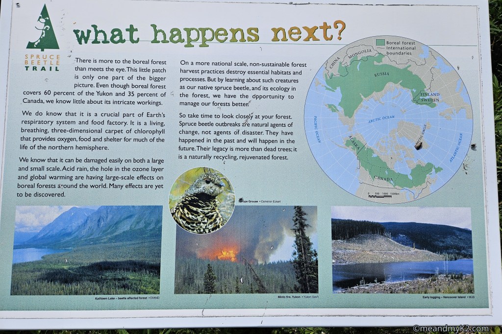
2. King’s Throne, Kathleen Lake, and Dezadeash River
Kathleen Lake (see below) is located at the base of King’s Throne, which is located about 29 km (18 miles) south of Haines Junction on Haines Road. Dezadeash River Trail is located adjacent to the town.
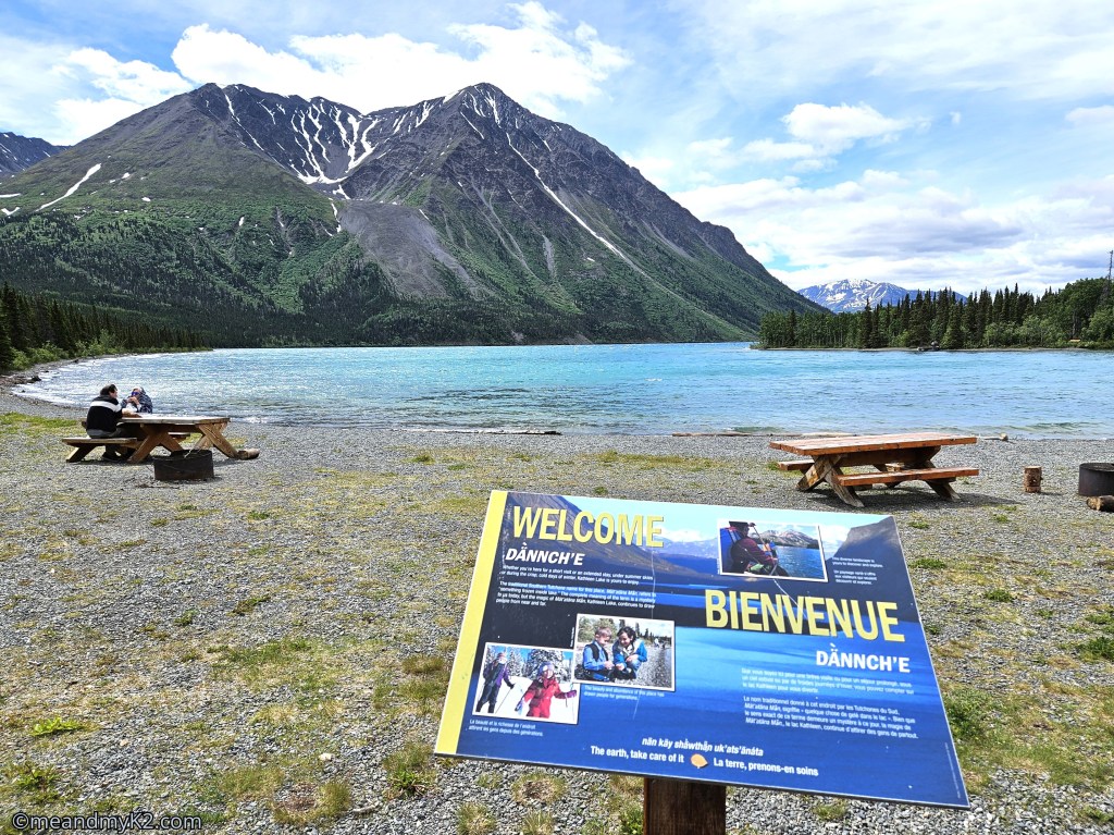
Kathleen Lake
Before climbing up King’s Throne, we spent a little time admiring the pristine beauty of Kathleen Lake. It is a deep, glacier-fed, crystal-clear blue-green lake. The water was ice cold and it was impossible to swim or even dip our feet in it.
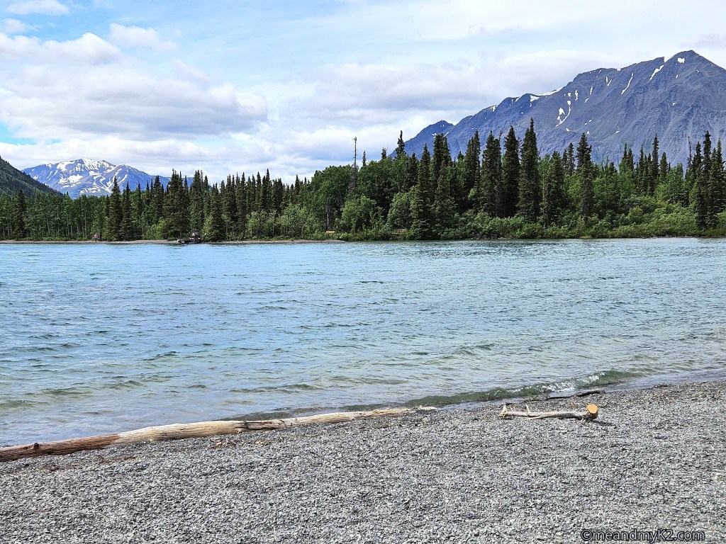
King’s Throne
We hiked this 10 km (6 miles) long trail with an elevation gain of 548 meters (1800 feet) that took us 5 hours to traverse through.

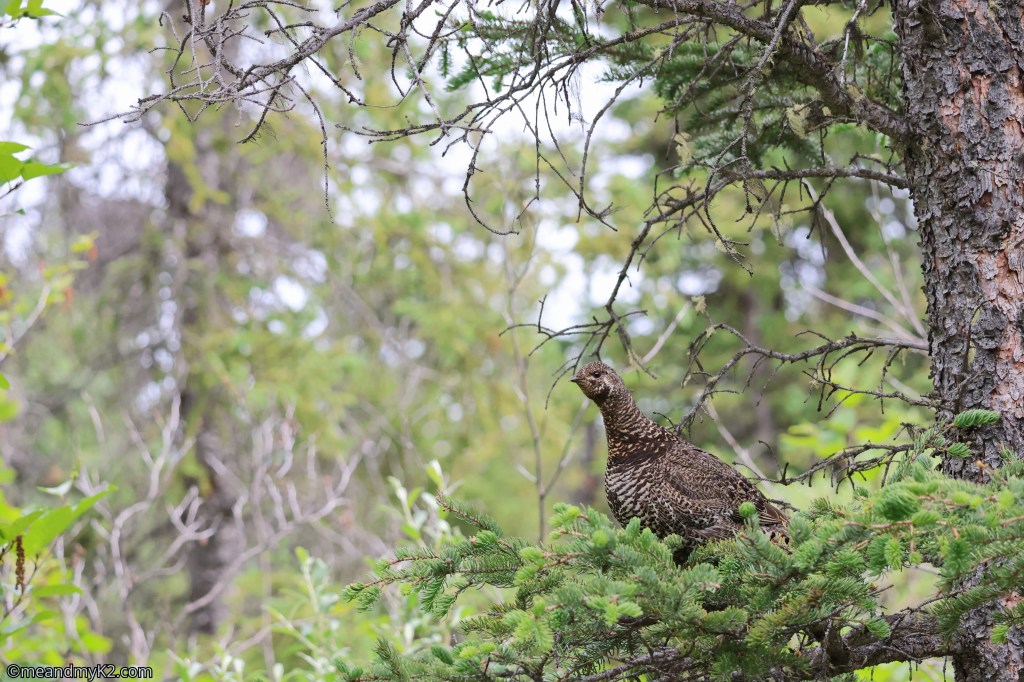
We found the first 3 km to be an easy section, which then ascended sharply reaching 60 degrees gradient. All along, the trail treated us with beautiful alpine flowers. A spruce grouse came to check us out at the end of the spruce tree line.
This climb reminded us of our experience of climbing Gros Morne Mountain in Gros Morne National Park in Newfoundland in August 2024 (read about it here). The only difference was that this trail had loose rock and we slipped several times.
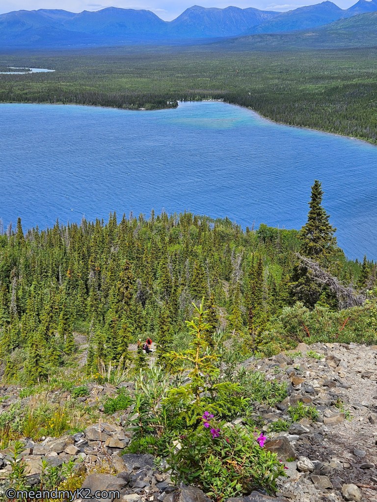
I had a minor accident while climbing the hill that could have been much worse. As I pushed myself up a steep step, one of my trekking poles shattered under my weight. My face and shoulder hit a small section of mud, but luckily, I escaped without any injuries. However, the reward was that we were treated to stunning views of a glacial cirque.
The video below on the Youtube’s Boumanville Fitness channel shows how difficult it was to descend the hill.
Dezadeash River
We hiked on this relatively easy 5 km (3 mile) long trail with an elevation gain of 15 m (50 feet) for 2 hours where the warning signed alerted us to the presence of high grizzly bear activity. Obviously, we were up on our toes with the bear spray ready with me to be deployed just in case.
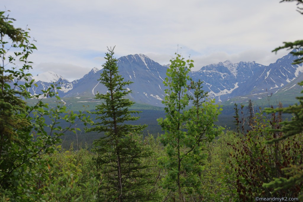
The first km was a boardwalk and wood chip. Observation platform and benches were situated along the trail, some of them offered great views of the Auriol Mountain Range.
Kluane-Wrangell-St. Elias Glacier Bay-Tatshenshini-Alsek
We stopped here where the exhibit explained that this name represents a massive UNESCO World Heritage Site made up of four connected parks across Alaska, Yukon, and British Columbia: Wrangell-St. Elias National Park and Preserve, Glacier Bay National Park and Preserve, Tatshenshini-Alsek Provincial Park, and Kluane National Park and Reserve.
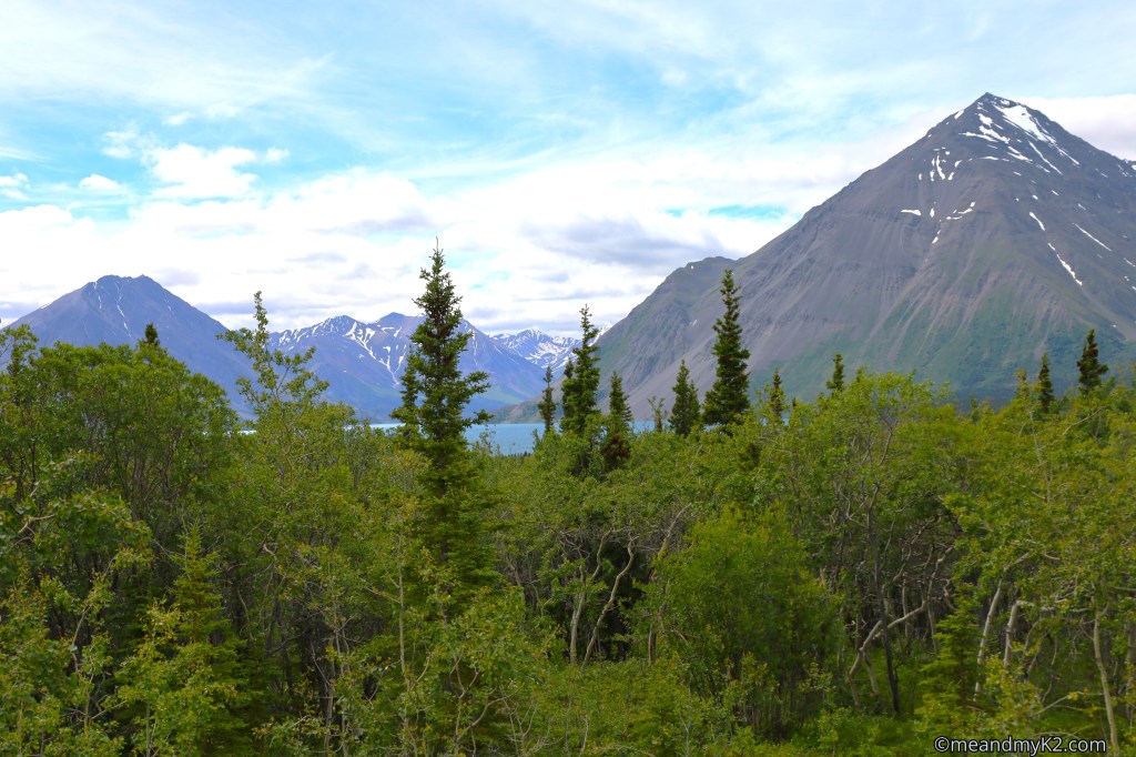
We hiked closer to the lake to take a few shots like the one below:
3. Sheep Creek and Soldier’s Summit
These two trails are located about 72 km (45 miles) north of Haines Junction on Alaska Highway.
Sheep Creek
We hiked under heavy rain for 10 km (6 miles) with an elevation gain of 430 meters (1400 feet) at this trail at Sheep Mountain (First Nation name: Thechal Dhal) above a very noisy and fast flowing Sheep Creek under heavy rains.
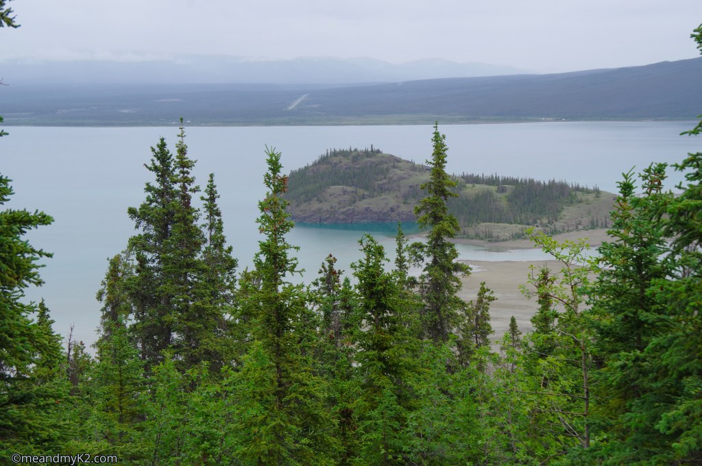
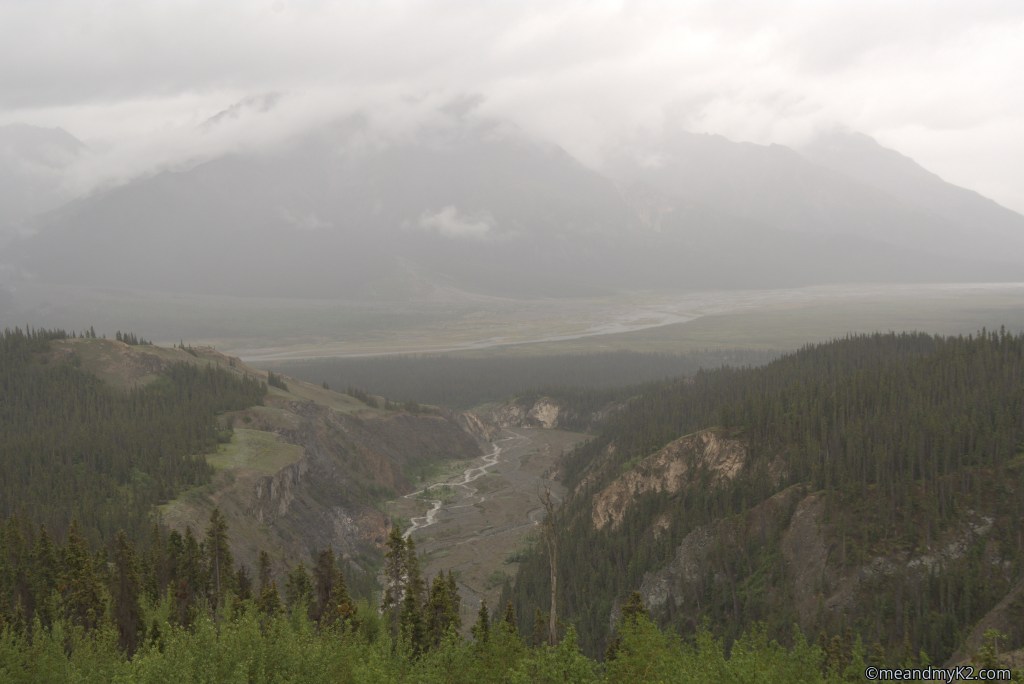
At times, we were walking in the clouds. One can see the Sheep Creek flowing below with Slims River (A’au Chu) under a massive mountain engulfed in clouds in the far background.
Soldier’s Summit
We started by climbing this historic peak for km (0.6 miles) with an elevation gain of 90 m (300 feet). The ubiquitous red chairs of Parks Canada were visible here too.
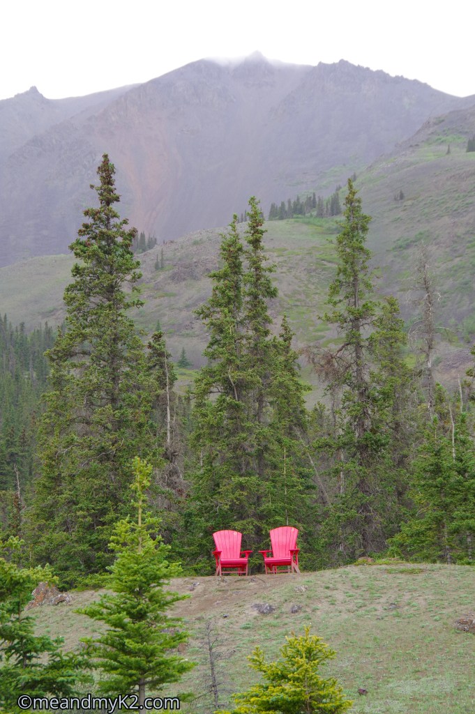
Since it was raining, we could not get any views of the dramatic landscape.

We had to abort this climb to Soldier’s Summit due to the presence of a grizzly bear on the trail and due to heavy rains that started at that specific time.
However, our exploration of this national park started with a visit to the Visitor Centre at Haines Junction.
Visitor Centre
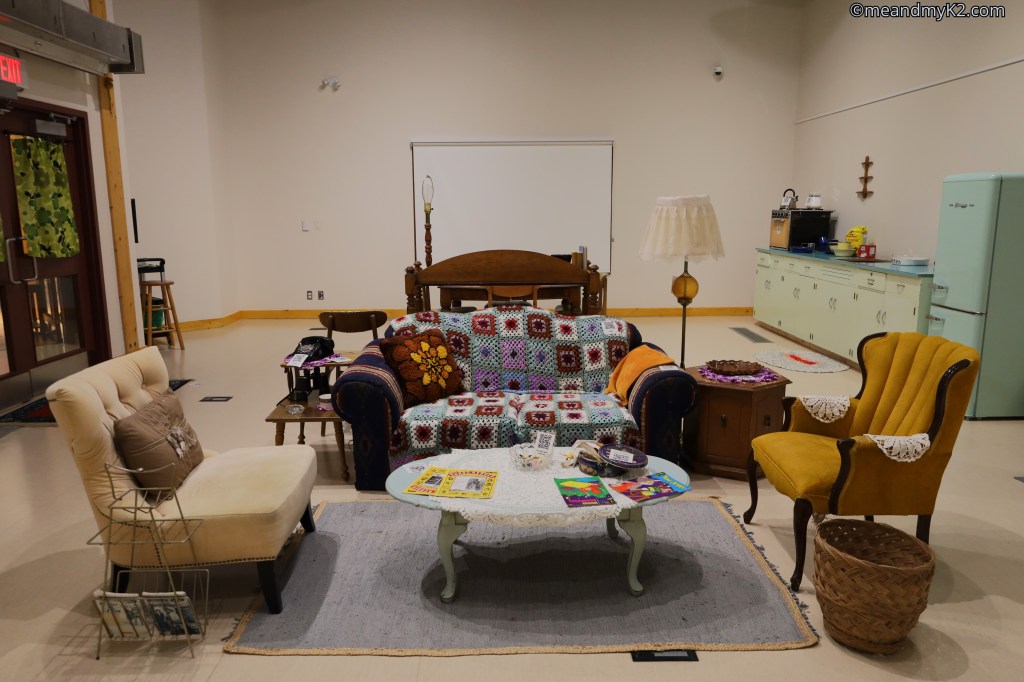
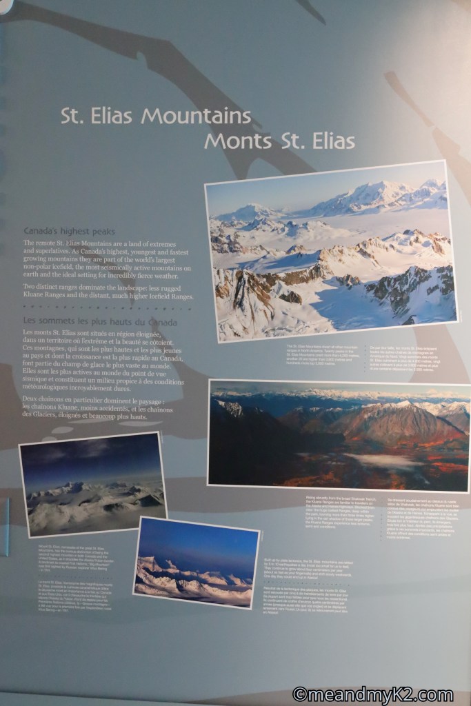
It was raining heavily and we decided to spend an hour at the Kluane National Park and Reserve Visitor Centre at Haines Junction. As can be seen in the pictures below, the Centre has digital exhibits, engaging exhibit panels, cultural artefacts, hands-on activities and stunning high-definition video.
Of course, we bought several souvenirs, including a customary T-shirt from the gift shop.
Wildlife of Yukon
Kluane National Park and Reserve and Yukon Territory itself is teeming with wildlife. The only good times to observe it are very early in the morning, which, in the summer months, would be 3 – 4 am in the morning and 8-10 pm in the evening. It is highly unlikely that any non-wildlife photographer would be out there in the wild to take photos.
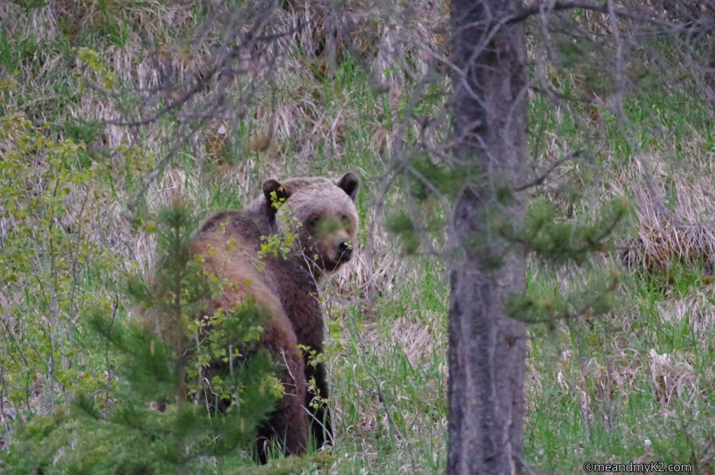
For details of our wildlife viewing, please read here.
Where to stay
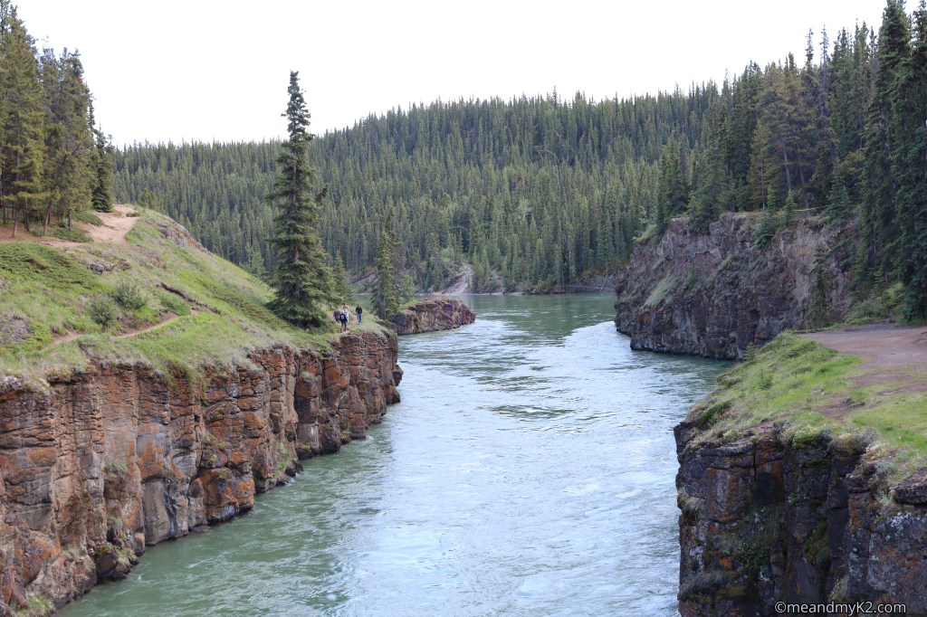
Brick and mortar accommodation near Haines Junction is the best bet. However, they can run out of rooms during the peak summer season. The alternate is to book accommodation in Whitehorse about 155 km away and commute every day for adventuring. We availed this latter option to explore Whitehorse, especially the gorgeous Mile Canyon.
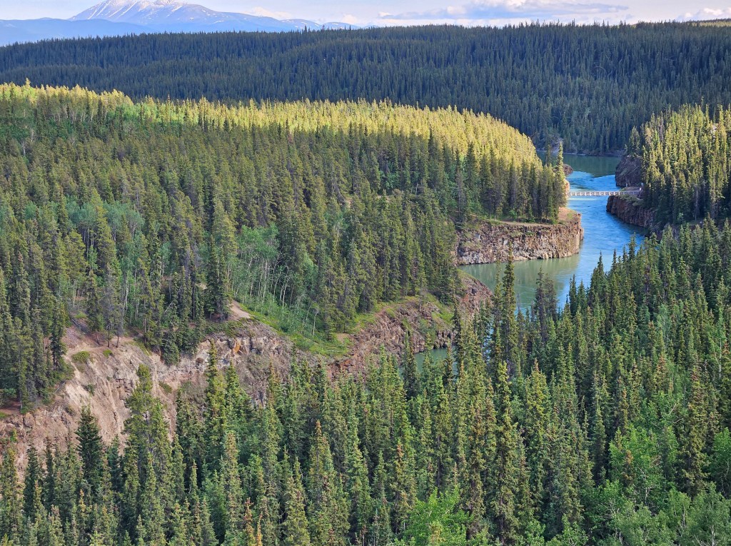
The river flowing through the canyon is the mighty Yukon River, the 2nd biggest river of Canada.
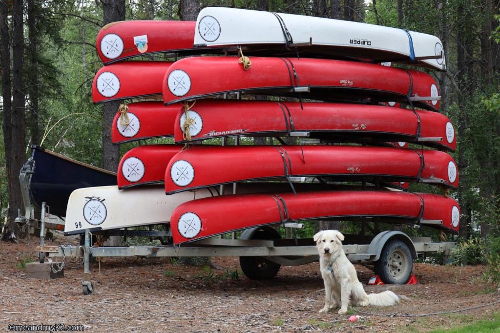
Of course, my love of dogs would show up every now and then.

The Airbnb we stayed in was set in forest and was spacious enough to serve our needs. On the premises, I made friends with this furry guard dog.
There are good restaurants of all shapes and sizes in and around Haines Junction and many more in Whitehorse. In fact, Whitehorse is comparable to any major Canadian city in terms of availability of restaurants and other facilities.
Final words
Until our next blog, au revoir! Be outdoorsy, embrace diversity, and support causes for the conservation of nature!

